Para, Ivory Coast
| Para | |
|---|---|
| Village | |
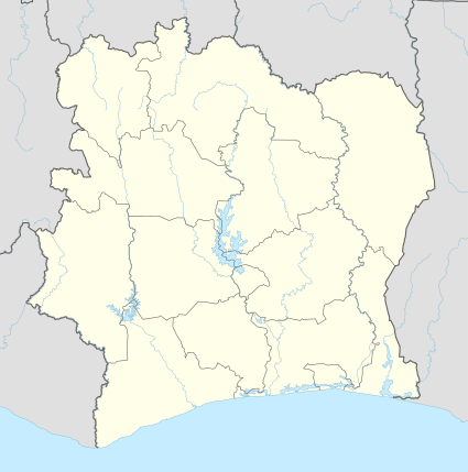 Para Location in Ivory Coast | |
| Coordinates: 5°31′N 7°20′W / 5.517°N 7.333°W | |
| Country |
|
| District | Bas-Sassandra |
| Region | Nawa |
| Department | Soubré |
| Sub-prefecture | Soubré |
| Time zone | UTC+0 (GMT) |
Para is a village is southwestern Ivory Coast. It is in the sub-prefecture of Djouroutou, Tabou Department, San-Pédro Region, Bas-Sassandra District.
Para was a commune from October 2005[1]until March 2012, when it became one of 1126 communes nationwide that were abolished.[2]
History
Following the disputed November 2010 election, there were armed attacks near Para across the Liberian border by disaffected Ivorian soldiers and their Liberian comrades. In June 2012 these attacks intensified when seven United Nations peacekeepers, an Ivorian soldier, and at least ten civilians were killed in the nearby village of Saho on 8 June.[3] Over 7,000 refugees flooded into Para.[4]
Economy
Notes
- ↑ Décret n° 2005-314 du 6 Octobre 2005 portant création de cinq cent vingt (520) communes (in French), Gouvernement de Côte d'Ivoire
- ↑ "Le gouvernement ivoirien supprime 1126 communes, et maintient 197 pour renforcer sa politique de décentralisation en cours", news.abidjan.net, 7 March 2012.
- 1 2 "Ivory Coast UN attack drives cocoa farmers off land". Newsday. Zimbabwe. 12 June 2012. Archived from the original on 25 October 2014.
- ↑ Monnier, Olivier (20 June 2012). "Ivory Coast Cocoa Growers Risk Attacks in Return to Farms". Bloomberg. Archived from the original on 25 October 2014.
Coordinates: 05°31′N 007°20′W / 5.517°N 7.333°W
This article is issued from
Wikipedia.
The text is licensed under Creative Commons - Attribution - Sharealike.
Additional terms may apply for the media files.