Pérez Pérez
| Pérez Pérez | |
|---|---|
| Village | |
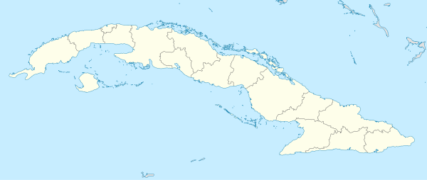 Location of Pérez Pérez in Cuba | |
| Coordinates: 21°28′50″N 78°10′39″W / 21.48056°N 78.17750°WCoordinates: 21°28′50″N 78°10′39″W / 21.48056°N 78.17750°W | |
| Country |
|
| Province | Camagüey |
| Municipality | Florida |
| Elevation | 60 m (200 ft) |
| Population (2011) | |
| • Total | 76 |
| Time zone | UTC-5 (EST) |
| Area code(s) | +53-322 |
Pérez Pérez is a village in the Camagüey Province of Cuba. It is part of the municipality of Florida,[1] and the estimated population is 76.[1]
Overview
The village is located in the western part of the province, between Florida and Camaguey. It spans on the national highway "Carretera Central" (CC).
Economy
The economy is centered on livestock and growing various crops.[1]
Education
The rural school "Escuela Rural Eduardo Panizo Bustos" is the only school in the area.
References
- 1 2 3 "Oficina Nacional de Estadísticas Cuba". http://www.one.cu/aed2014/30Camaguey/Municipios/09%20Florida.pdf. External link in
|website=(help); Missing or empty|url=(help);|access-date=requires|url=(help)
This article is issued from
Wikipedia.
The text is licensed under Creative Commons - Attribution - Sharealike.
Additional terms may apply for the media files.