Owando
Coordinates: 00°29′S 15°54′E / 0.483°S 15.900°E
| Owando | |
|---|---|
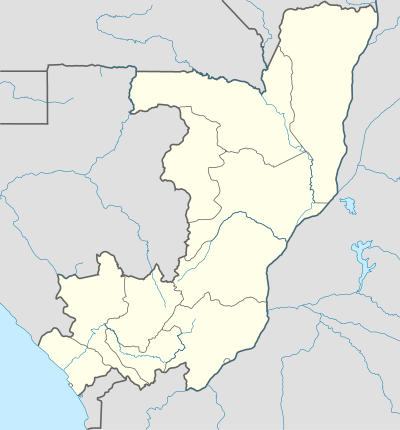 Owando Location in the Republic of the Congo | |
| Coordinates: 0°29′S 15°54′E / 0.483°S 15.900°E | |
| Country |
|
| Department | Cuvette |
| Commune | Owando |
| Founded | 1903 |
| Area | |
| • Total | 378.2 km2 (146.0 sq mi) |
| Elevation | 325 m (1,066 ft) |
| Population (2012) | |
| • Total | 26,635 |
| • Density | 70/km2 (180/sq mi) |
Owando is a town in the central Republic of the Congo, lying on the Kouyou River. It is the capital of Cuvette Department and an autonomous commune. It is home to a market and has an airport.
It was formerly known as Fort-Rousset. It gained the status of "commune" on March 16, 2017[1]
History
Founded as Rousset in 1903 and quickly renamed Fort-Rousset in 1904, Owando got its African name back in 1977.[2]
A Roman Catholic diocese was established on 14 September 1955.[3]
References
- ↑ http://www.sgg.cg/imageProvider.asp?private_resource=2639&fn=jo_2017_12.pdf
- ↑ Rock Ngassakys, "Owando, capitale de la Cuvette, accueille ce 15 août 2007 la fête de l'indépendance du Congo", Les Dépêches de Brazzaville, 14 August 2007, Online
- ↑ "Diocese of Owando". Catholic-Hierarchy.org. David M. Cheney. Retrieved 21 January 2015.
External links
This article is issued from
Wikipedia.
The text is licensed under Creative Commons - Attribution - Sharealike.
Additional terms may apply for the media files.