Oulad Gnaou
| Oulad Gnaou | |
|---|---|
| Rural commune and town | |
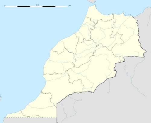 Oulad Gnaou Location in Morocco | |
| Coordinates: 32°19′40″N 6°30′2″W / 32.32778°N 6.50056°WCoordinates: 32°19′40″N 6°30′2″W / 32.32778°N 6.50056°W | |
| Country |
|
| Region | Tadla-Azilal |
| Province | Béni Mellal Province |
| Population (2004) | |
| • Total | 11,256 |
| Time zone | UTC+0 (WET) |
| • Summer (DST) | UTC+1 (WEST) |
Oulad Gnaou is a small town and rural commune in Béni Mellal Province of the Tadla-Azilal region of Morocco. At the time of the 2004 census, the commune had a total population of 11256 people living in 1961 households.[1] The town is located 15.6 kilometres (9.7 mi) west by road from Beni Mellal.[2] Agriculture forms the backbone of the local economy; in 1950-51 experiment were conducted into irrigating wheat crops in the commune. [3] The growth of irrigation in the area was facilitated by the famine of 1945.[4]The land in the commune is semi-arid.[5]
References
- ↑ "Recensement général de la population et de l'habitat de 2004" (PDF). Haut-commissariat au Plan, Lavieeco.com. Retrieved 16 June 2012.
- ↑ Maps (Map). Google Maps.
- ↑ Nuttonson, Michael Y. (1961). A survey of North African agro-climatic counterparts of Israel: A study based on official records, material and reports of various agencies of the United Nations and several national administrations. American Institute of Crop Ecology. Retrieved 16 June 2012.
- ↑ Société d'études et d'expansion, Liege (1951). Revue. p. 668. Retrieved 16 June 2012.
- ↑ Ronald E. Yoder, ed. (November 1996). Evapotranspiration and irrigation scheduling: proceedings of the international conference, November 3-6, 1996, San Antonio Convention Center, San Antonio, Texas. American Society of Agricultural Engineers. p. 359. ISBN 978-0-929355-82-5. Retrieved 16 June 2012.
This article is issued from
Wikipedia.
The text is licensed under Creative Commons - Attribution - Sharealike.
Additional terms may apply for the media files.