Orăștie River
| Orăștie River | |
| River | |
 Orăștie River | |
| Countries | Romania |
|---|---|
| Region | Transylvania |
| Counties | Hunedoara County |
| Communes | Orăștioara de Sus, Beriu, Orăștie |
| Source | |
| - location | Șureanu Mountains, Mount Zebru |
| - elevation | 1,451 m (4,760 ft) |
| - coordinates | 45°39′36″N 23°23′11″E / 45.66000°N 23.38639°E |
| Mouth | Mureș |
| - location | near Orăștie |
| - elevation | 195 m (640 ft) |
| - coordinates | 45°52′48″N 23°10′57″E / 45.88000°N 23.18250°ECoordinates: 45°52′48″N 23°10′57″E / 45.88000°N 23.18250°E |
| Length | 47 km (29 mi) |
| Basin | 399 km2 (154 sq mi) |
| Discharge | for Orăștie |
| - average | 2.00 m3/s (71 cu ft/s) |
| Progression | Mureș→ Tisza→ Danube→ Black Sea |
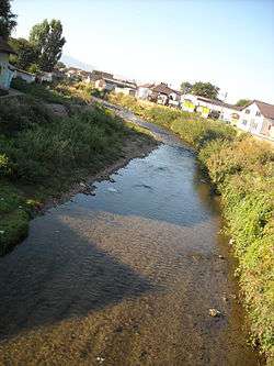
The Orăștie River is a left tributary of the river Mureș in Romania. It discharges into the Mureș near the town Orăștie.
The upper reach of the river is also known as Godeanu River. The middle reach is locally known as Grădiștea River or Beriu River. The lower reach, downstream of the junction with the Sibişel is known as Apa Orașului River (Hungarian: Városvíz, meaning "Townwater")
Tributaries
The following rivers are tributaries to the river Orăștie:
- Left: Tâmpu, Valea lui Brad, Valea Largă, Jărosul, Pustiosu, Sărătura, Pietrosu, Feieragu, Valea Vinții
- Right: Strâmtosu, Pârâul Alb, Anineș, Tihul, Valea Rea, Valea Prisăcii, Plaiu, Valea Cărnii, Valea Poieniței, Valea Muții, Sereca, Sibișel, Strelnicea
References
- Administrația Națională Apelor Române - Cadastrul Apelor - București
- Institutul de Meteorologie și Hidrologie - Rîurile României - București 1971
- Trasee Turistice - județul Hunedoara
- "ICPA - Comune vulnerabile - județul Hunedoara" (PDF). Archived from the original (PDF) on September 26, 2007.
Maps
This article is issued from
Wikipedia.
The text is licensed under Creative Commons - Attribution - Sharealike.
Additional terms may apply for the media files.