Omalo
| Omalo ომალო | |
|---|---|
 | |
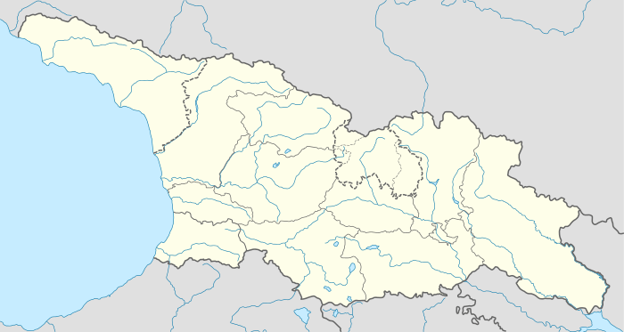 Omalo ომალო Location of Omalo in Georgia | |
| Coordinates: 42°22′44″N 45°37′48″E / 42.37889°N 45.63000°ECoordinates: 42°22′44″N 45°37′48″E / 42.37889°N 45.63000°E | |
| Country |
|
| Mkhare | Kakheti |
| Municipality | Akhmeta |
| Elevation | 1,880 m (6,170 ft) |
| Population (2014)[1] | |
| • Total | 37 |
| Time zone | UTC+4 (Georgian Time) |
| • Summer (DST) | UTC+5 |
Omalo (Georgian: ომალო) is a principal village in the historical region of Tusheti, Georgia. Administratively, it is part of the Akhmeta District in Kakheti. It lies between the Greater Caucasus Mountain Range and the Pirikita Range of Tusheti. Due to Omalo's high mountain location on the northern slopes of the Greater Caucasus Mountain Range and the absence of well-maintained roads, it is largely isolated from the rest of Georgia for most of the year. The only access road is through the Abano pass at 2,850 metres (9,350 ft) The fortress of Keselo is a landmark in Zemo (upper) Omalo, this place served as a refuge for locals in wartime.[2]
See also
References
- ↑ "Population Census 2014". www.geostat.ge. National Statistics Office of Georgia. November 2014. Retrieved 2 June 2016.
- ↑ "Georgia". www.gotocaucasus.com. Retrieved 2017-07-28.
External links
This article is issued from
Wikipedia.
The text is licensed under Creative Commons - Attribution - Sharealike.
Additional terms may apply for the media files.