Olizon
Coordinates: 39°08′07″N 23°13′02″E / 39.13534°N 23.21711°E
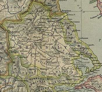
Olizon (Ancient Greek: Ὀλιζών) was a town and polis (city-state)[1] of Magnesia in ancient Thessaly.[2][3][4] Olizon is mentioned by Homer, who gives it the epithet of "rugged"; and in the Catalogue of Ships in the Iliad, Olizon formed part of the territories of Philoctetes.[5]
It is also mentioned in the Periplus of Pseudo-Scylax as a city in Magnesia, together with Iolcus, Spalauthra, Methone and Coracae.[6] In Strabo's time, it formed part of the dependent territories of Demetrias on a section of the coast where Thaumacia and Meliboea also stood.[7] Plutarch wrote that it was located opposite Artemisium in Euboea.[8]
Olizon is located at the Palaiokastro (old fort) at Agios Andreas.[9][10]
References
- ↑ Mogens Herman Hansen & Thomas Heine Nielsen (2004). "Thessaly and Adjacent Regions". An inventory of archaic and classical poleis. New York: Oxford University Press. p. 721. ISBN 0-19-814099-1.
- ↑ Strabo. Geographica. ix. p.436. Page numbers refer to those of Isaac Casaubon's edition.
- ↑ Pliny. Naturalis Historia. 4.9.16.
- ↑ Stephanus of Byzantium. Ethnica. s.v.
- ↑ Homer. Iliad. 2.717.
- ↑ Periplus of Pseudo-Scylax, 65.
- ↑ Strabo. Geographica. 9.5.15-16. Page numbers refer to those of Isaac Casaubon's edition.
- ↑ Plut. Them. 8.
- ↑ Richard Talbert, ed. (2000). Barrington Atlas of the Greek and Roman World. Princeton University Press. p. 55, and directory notes accompanying.
- ↑ Lund University. Digital Atlas of the Roman Empire.
![]()