Ogilvie Mountains
| Ogilvie Mountains | |
|---|---|
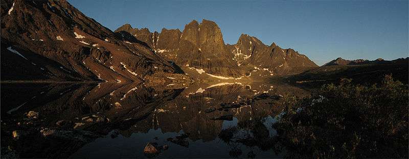
 Mountains in Tombstone Territorial Park | |
| Highest point | |
| Peak | Mount Frank Rae |
| Elevation | 2,362 m (7,749 ft) |
| Geography | |
| Country | Canada |
| Territories | Yukon |
| Range coordinates | 64°22′N 137°16′W / 64.367°N 137.267°WCoordinates: 64°22′N 137°16′W / 64.367°N 137.267°W |
| Parent range | Yukon Ranges |
The Ogilvie Mountains are a mountain range in the Yukon Territory of northwestern Canada.
Geologically they are part of the Yukon Ranges, in the upper Laramide Belt of the North American Cordillera.
Geography
The range lies north of Dawson City, and is crossed by the Dempster Highway.
The area was first surveyed by William Ogilvie and the range subsequently named after him.
- Sub-ranges
Peaks
The best known mountain peaks of the Ogilvie Mountains are located within Tombstone Territorial Park .[1]
The highest mountain within the range is Mount Frank Rae, at 2,362 m (7,749 ft) in elevation.
The range's most familiar mountains, with their jagged granite peaks, are:[2]
- Tombstone Mountain
- Mount Monolith
References
External links
| Wikimedia Commons has media related to Ogilvie Mountains. |
This article is issued from
Wikipedia.
The text is licensed under Creative Commons - Attribution - Sharealike.
Additional terms may apply for the media files.