Nurmsi Airfield
| Nurmsi Airfield Nurmsi lennuväli | |||||||||||
|---|---|---|---|---|---|---|---|---|---|---|---|
| Summary | |||||||||||
| Airport type | Military | ||||||||||
| Operator |
| ||||||||||
| Location | Nurmsi | ||||||||||
| Elevation AMSL | 72 m / 236 ft | ||||||||||
| Coordinates | 58°51′41″N 025°44′06″E / 58.86139°N 25.73500°ECoordinates: 58°51′41″N 025°44′06″E / 58.86139°N 25.73500°E | ||||||||||
| Map | |||||||||||
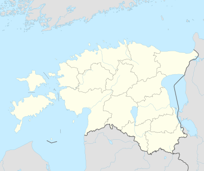 EENI Location in Estonia | |||||||||||
| Runways | |||||||||||
| |||||||||||
|
Sources: Forgotten Airfields[1] | |||||||||||
Nurmsi Airfield (ICAO: EENI); (Estonian: Nurmsi lennuväli) was a Soviet air base in Estonia located 10 km (6.2 mi) east of Paide in Nurmsi. It was a former attack deployment base and was listed on a 1974 U.S. Department of Defense Global Navigation Chart No. 3 as having jet facilities.[1] At the end of the Cold War the airfield was converted into farmland. Very little of the airfield establishment remains today.
References
- 1 2 Nurmsi Airfield at Forgotten Airfields
This article is issued from
Wikipedia.
The text is licensed under Creative Commons - Attribution - Sharealike.
Additional terms may apply for the media files.