Norwegian County Road 774
| County Road 774 | ||||
|---|---|---|---|---|
|
Bokmål: Fylkesvei 774 Nynorsk: Fylkesveg 774 | ||||
 | ||||
| Route information | ||||
| Maintained by Statens vegvesen | ||||
| Length | 4.2 km (2.6 mi) | |||
| Major junctions | ||||
| East end | E6 at Mule | |||
| Levanger–Hokstad Ferry | ||||
| West end | 135 at Hokstad | |||
| Location | ||||
| Counties | Trøndelag | |||
| Major cities | Levanger | |||
| Highway system | ||||
| ||||
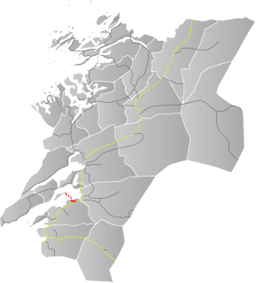
Norwegian County Road 774 (Norwegian: Fylkesvei 774) is a 4.2-kilometre (2.6 mi) long county road in the municipality of Levanger in Trøndelag county, Norway. It begins at the junction with the European route E06 highway at the village of Mule. It then heads into and through parts of the town of Levanger. There, the road continues as the Levanger–Hokstad Ferry operated by Tide Sjø to the village of Hokstad on the island of Ytterøya. After the ferry, the road changes to Norwegian County Road 135.[1]
Before 1 January 2010, it was known as Norwegian national road 774 (Riksvei 774), but control was transferred to the county so now it is a Norwegian county road (Fylkesvei).
Path from east to west

- 134→ to Røstadlia (and E6 at Salthammer)

- 125 to Kirkegata in the town of Levanger

- ←135 (western terminus)
References
- ↑ "Vegliste 2011 Fylkes- og Kommunale Veger: Nord-Trøndelag" (in Norwegian). Statens Vegvesen. Retrieved 2011-05-23.
Coordinates: 63°45′00″N 11°18′32″E / 63.74998°N 11.30878°E
This article is issued from
Wikipedia.
The text is licensed under Creative Commons - Attribution - Sharealike.
Additional terms may apply for the media files.