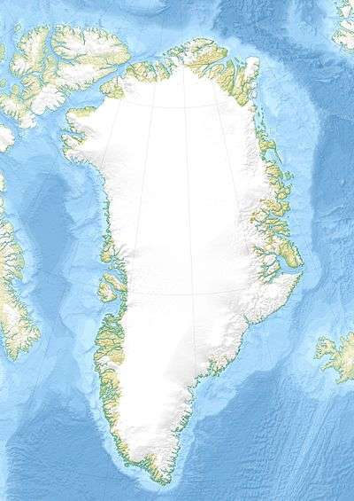
Norsketinden
| Norsketinden | |
|---|---|
 Norsketinden Scoresby Land, Greenland | |
| Highest point | |
| Elevation | 2,756 m (9,042 ft) [1] |
| Coordinates | 72°8′10″N 25°3′20″W / 72.13611°N 25.05556°WCoordinates: 72°8′10″N 25°3′20″W / 72.13611°N 25.05556°W [1] |
| Geography | |
| Location | Scoresby Land, Greenland |
| Parent range | Stauning Alps |
| Climbing | |
| First ascent | 1954[2] |
Norsketinden is a mountain in the Stauning Alps, Eastern Greenland.
Geography
Norsketinden is one of the highest mountains in the range. It rises roughly 12 km to the east of the shore of the Alpefjord —a branch of the Segelsällskapets, between the Vikingebrae and the Gully Glacier.[2] Although according to available sources this mountain is a 2,870 metres (9,416 ft),[2] 2,797 metres (9,177 ft),[3] or 2,789-metre-high (9,150 ft) peak.[4] it appears as a 2,756-metre-high (9,042 ft) peak in Google Earth.[1]
Climbing history
Norsketinden was first climbed by a Danish–Norwegian expedition on 7 August 1954. The names 'Erik Rødes Tinde' or 'Eirik Raudes Tinde' —after Erik the Red, were proposed, but the peak was finally named Norsketinden.[2]
See also
References
- 1 2 3 Google Earth
- 1 2 3 4 "Catalogue of place names in northern East Greenland". Geological Survey of Denmark. Retrieved 18 June 2016.
- ↑ A. K. Higgins, Jane A. Gilotti, M. Paul Smit eds. The Greenland Caledonides: Evolution of the Northeast Margin of Laurentia, p. 349
- ↑ "North America, Greenland, East Greenland, Staunings Alper". AAJ. Retrieved 16 June 2016.
External links
This article is issued from
Wikipedia.
The text is licensed under Creative Commons - Attribution - Sharealike.
Additional terms may apply for the media files.