Nordingrå
| Nordingrå | |
|---|---|
 Nordingrå 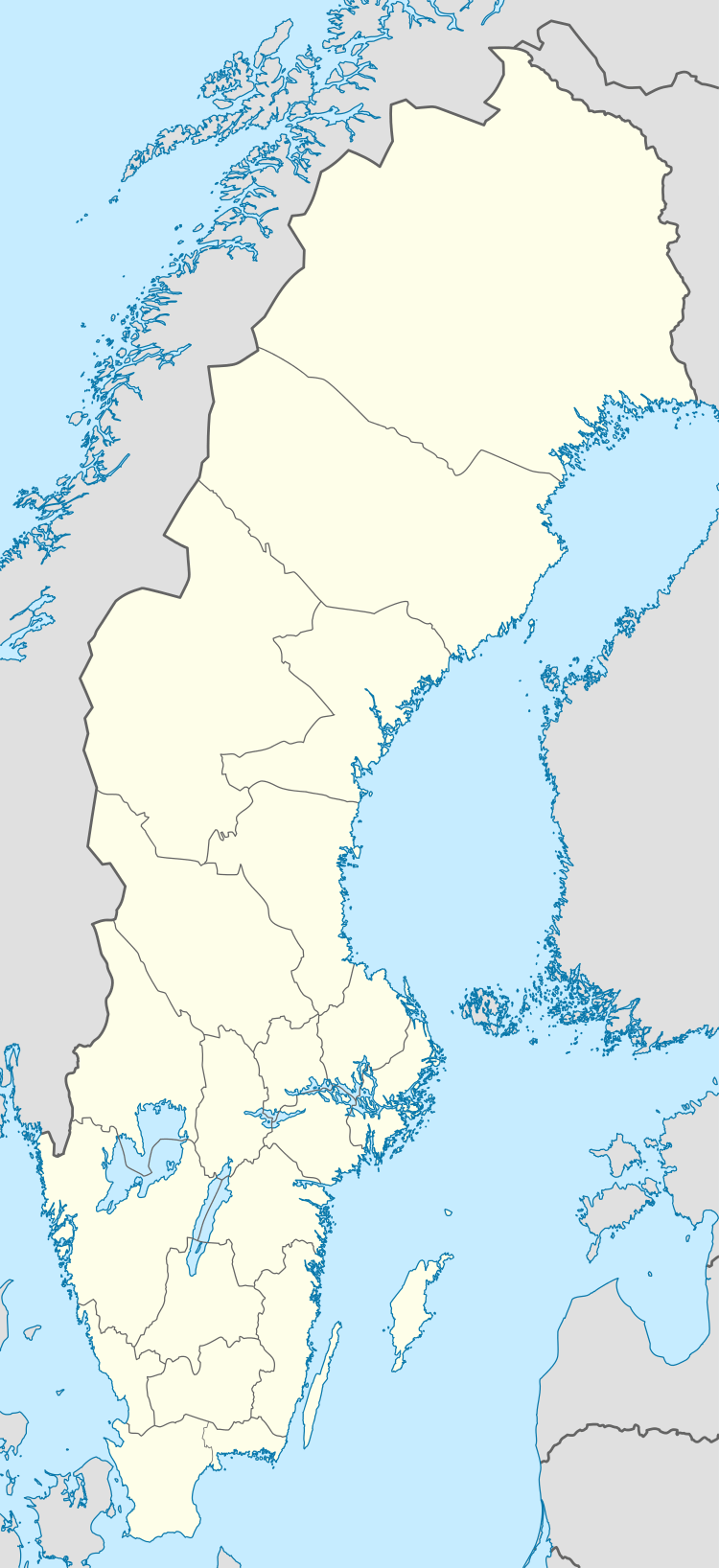 Nordingrå | |
| Coordinates: 62°55′45″N 18°17′14″E / 62.92917°N 18.28722°ECoordinates: 62°55′45″N 18°17′14″E / 62.92917°N 18.28722°E | |
| Country | Sweden |
| Province | Ångermanland |
| County | Västernorrland County |
| Municipality | Kramfors Municipality |
| Area[1] | |
| • Total | 0.65 km2 (0.25 sq mi) |
| Population (31 December 2010)[1] | |
| • Total | 306 |
| • Density | 472/km2 (1,220/sq mi) |
| Time zone | UTC+1 (CET) |
| • Summer (DST) | UTC+2 (CEST) |
| Climate | Dfb |
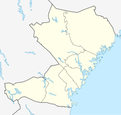
Nordingrå is a locality situated in Kramfors Municipality, Västernorrland County, Sweden, with 306 inhabitants in 2010.[1]
It is also a parish of some 50 villages, with a population of about 1500. Nordingrå is a part of the Höga Kusten (High Coast) World Heritage Site.
Notable residents
- Tobias Enström, National Hockey League defenceman
References
- 1 2 3 "Tätorternas landareal, folkmängd och invånare per km2 2005 och 2010" (in Swedish). Statistics Sweden. 14 December 2011. Archived from the original on 10 January 2012. Retrieved 10 January 2012.
This article is issued from
Wikipedia.
The text is licensed under Creative Commons - Attribution - Sharealike.
Additional terms may apply for the media files.