Nikmaraš
| Nikmaraš | |
|---|---|
| Settlement | |
 | |
| Coordinates: 42°26′19″N 19°26′06″E / 42.43861°N 19.43500°E | |
| Country |
|
| Municipality | Podgorica Municipality |
| Rural community | Zatrijebač |
| Population (2003) | |
| • Total | 13 |
| Time zone | UTC+1 (CET) |
| • Summer (DST) | UTC+2 (CEST) |
| Area code(s) | 081 |
| Vehicle registration | PG |
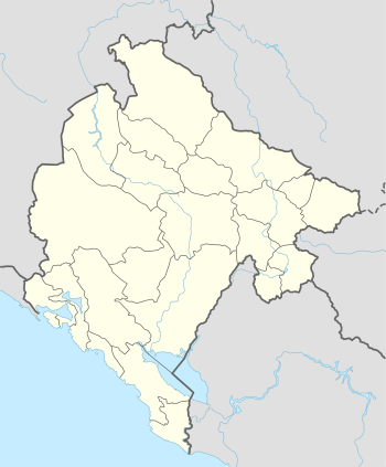
Nikmaraš (Montenegrin and Serbian Cyrillic: Никмараш, Albanian: Nikmarashi) is a settlement in the rural community of Zatrijebač, in Podgorica, Montenegro, near the border with Albania. It is part of the wider Kuči clan region, specifically in the Zatrijebač region (alb. Triesh, part of wider Malësia from Albanian point of view). According to the 2003 census, the village has 13 inhabitants, all ethnic Albanians. The village owes its name to the Zatrijebač chieftain Nik Maraš Kalčević[1] (Nik Marashi).
Geography
Nikmaraš is located east of the capital. The Sjevik hill lies within the settlement.[2] The settlement is one of 6 villages of the Albanian-inhabited Zatrijebač region (Trieshi), along with Mužečka, Sćepova (alb. Stjepohi), Banjkani (alb. Benkaj), Deljani (alb. Delaj) and Budza.[3]
History
In the past, Nikmaraš was the largest of all ten Zatrijebač villages, but today the largest is said to be the village of Stjepoja (also known to be the tribal center). According to Montenegrin census records, Nikmaraš, around the mid-19th century was said to have around 70 households. At this time, locals called Nikmaraš by the name of "Shkodra e Vogel" to relate to its size compared to the city of Shkoder in North Albania. Lul Nika, Cac Nika and Mark Nika were the sons of Nik Marashi. The villages consists six of the following surnames; Arapaj, Cacaj, Gjeloshaj, Gjonaj, Gjurashaj & Margilaj. In today's census, Nikmaraš is said to have only 13 persons living in the village. Most of the village natives either moved to other towns or cities within Montenegro, but most natives found themselves a better lifestyle within the borders of the United States.
References
- ↑ Srpska kraljevska akademija 1931, p. 142
- ↑ Ivić 1987, p. 542
- ↑ Srpska kraljevska akademija 1931, p. 5
Sources
- Srpska kraljevska akademija (1931). Srpski etnografski zbornik, Volume 48. Srpska akademija nauka i umetnosti.
- Ivić, Pavle (1987). Zbornik Šeste jugoslovenske onomastičke konferencije: Donji Milanovac, 9-12 oktobra 1985 (in Serbo-Croatian). Srpska akademija nauka i umetnosti. p. 542.