Ngapa, Mozambique
| Ngapa | |
|---|---|
| Village | |
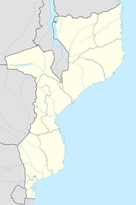 Ngapa Location in Mozambique | |
| Coordinates: 11°16′04″S 39°17′14″E / 11.26778°S 39.28722°ECoordinates: 11°16′04″S 39°17′14″E / 11.26778°S 39.28722°E | |
| Country |
|
| Province | Cabo Delgado Province |
| District | Mueda |
Ngapa is a village in Mueda District, in Cabo Delgado Province of northern Mozambique.[1][2]
Notes
- ↑ Google Maps (Map). Google.
|access-date=requires|url=(help) - ↑ Bing Maps (Map). Microsoft and Harris Corporation Earthstar Geographics LLC.
|access-date=requires|url=(help)
External links
- "Ngapa Map — Satellite Images of Ngapa" Maplandia World Gazetteer
This article is issued from
Wikipedia.
The text is licensed under Creative Commons - Attribution - Sharealike.
Additional terms may apply for the media files.