Nangere
| Nangere | |
|---|---|
| LGA | |
 Nangere Location in Nigeria | |
| Coordinates: 11°51′N 10°58′E / 11.850°N 10.967°ECoordinates: 11°51′N 10°58′E / 11.850°N 10.967°E | |
| Country |
|
| State | Yobe State |
| Area | |
| • Total | 980 km2 (380 sq mi) |
| Population (2006 census) | |
| • Total | 87,823 |
| Time zone | UTC+1 (WAT) |
| 3-digit postal code prefix | 631 |
| ISO 3166 code | NG.YO.NA |
Nangere is a Local Government Area in Yobe State, Nigeria. Its headquarters are in the town of Sabon Gari Nanger (or Sabon Garin) at11°51′50″N 11°04′11″E / 11.86389°N 11.06972°E.
It has an area of 980 km² and a population of 87,823 at the 2006 census.
The postal code of the area is 631.[1]
References
- ↑ "Post Offices- with map of LGA". NIPOST. Archived from the original on 2009-10-07. Retrieved 2009-10-20.
State capital: Damaturu | ||
| Local Government Areas | 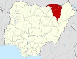 | |
This article is issued from
Wikipedia.
The text is licensed under Creative Commons - Attribution - Sharealike.
Additional terms may apply for the media files.