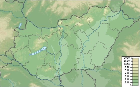
Nagy-Milic
| Nagy-Milic / Veľký Milič | |
|---|---|
 Nagy-Milic / Veľký Milič Location on Hungary–Slovakia border | |
| Highest point | |
| Elevation | 894 m (2,933 ft) |
| Coordinates | 48°34′36″N 21°27′28″E / 48.57667°N 21.45778°ECoordinates: 48°34′36″N 21°27′28″E / 48.57667°N 21.45778°E |
| Geography | |
| Location | Hungary / Slovakia |
| Geology | |
| Mountain type | Volcanic |
Nagy-Milic (Hungarian: [ˈnɒɟmilit͡s]; Slovak: Veľký Milič) is the highest peak of the Hungarian part of the Zemplén Mountains, which is part of the Carpathian Mountains. The mountain is situated on the border of Hungary and Slovakia. It is 894 metres tall and is near the northernmost point of Hungary.
Etymology
The name comes from a Slavic personal name derived from milъ (dear), e.g. Milic, Milica frequently used in Slavic place names.[1] Mylychkw (Milic's stone?, 1270).[1]
References
This article is issued from
Wikipedia.
The text is licensed under Creative Commons - Attribution - Sharealike.
Additional terms may apply for the media files.