Parole, India
| Parole Nagri Parole Parol | |
|---|---|
| town | |
 Parole Location in Jammu and Kashmir  Parole Parole (India) | |
| Coordinates: 32°20′49″N 75°26′03″E / 32.34694°N 75.43417°ECoordinates: 32°20′49″N 75°26′03″E / 32.34694°N 75.43417°E | |
| Country |
|
| State | Jammu and Kashmir |
| District | Kathua |
| Tehsil | Kathua |
| Elevation | 274 m (899 ft) |
| Population (2001) | |
| • Total | 7,074 |
| Languages | |
| • Official | Urdu |
| Time zone | UTC+5:30 (IST) |
| PIN | 184151 |
| Vehicle registration | JK |
Parole (Nagri Parole)[1][2][3] is a town and a notified area committee in Kathua district in the Indian state of Jammu and Kashmir.
Geography
Parole is located on the right bank of a tributary of the Ravi River.[4] It has an average elevation of 274 metres (899 feet). It is 10 km from kathua district. It is a religious town surrounded by temples of many gods. On the one side there is lord shiva temple at a distance of 3 km from nagri in the village airwan.While on the other side this town is blessed by mata bala sundri. There is one more religious place called as chhattar shah where people come to get themselves blessed by baba chhattar shah. Every year a lot of people come to these religious places to get blessings. Nagri parole is one of the most beautiful tehsil in the state of jammu and kashmir. People residing here are very good, well mannered, literate and helpful. Nagri parole has its boundary with fatehpur village of Punjab's pathankot district. Therefore, it is also called as gateway of jammu and kashmir.There are many places to visit here, so, many people come here and enjoy the beauty of this great town.
Demographics
As of 2001 India census,[5] Parole had a population of 7,074. Males constituted 52% of the population and females 48%. Parole had an average literacy rate of 60%, higher than the national average of 59.5%: male literacy is 68%, and female literacy was 52%. In 2001 in Parole, 14% of the population was under six years of age.
Religion
Hindu 96.41%, Sikh 0.20%, Muslim 0.66%,[6]
Notes and references
- ↑ Parol (Approved - N at GEOnet Names Server, United States National Geospatial-Intelligence Agency
- ↑ Nagri (Variant - V) at GEOnet Names Server
- ↑ Parole (Variant - V) at GEOnet Names Server
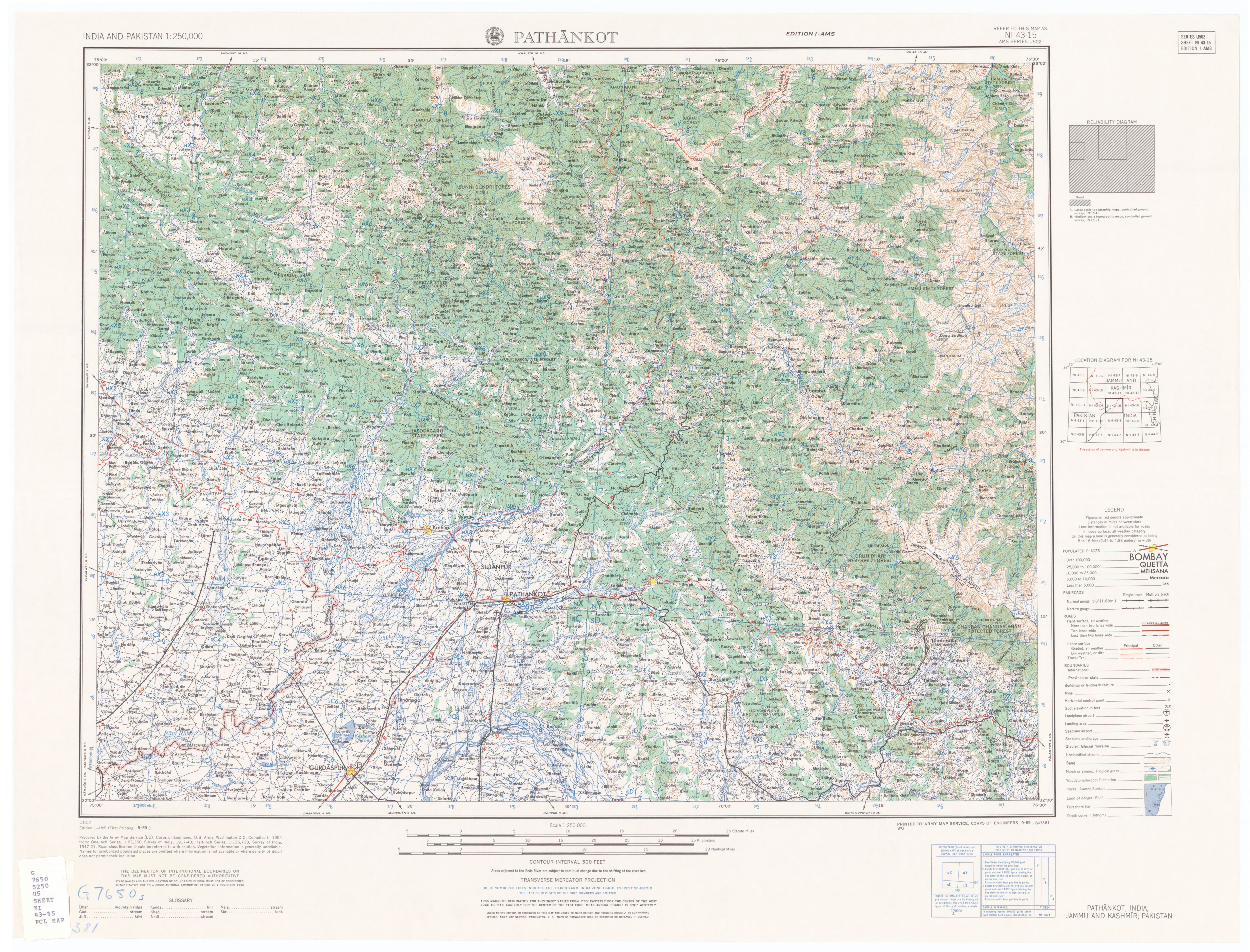
- ↑ Pathankot, India; Jammu and Kashmir; Pakistan, NI 43-15, topographic map (Map). 1:250,000. AMS Series U502. United States Army Map Service. 1959.
- ↑ "Census of India 2001: Data from the 2001 Census, including cities, villages and towns (Provisional)". Census Commission of India. Archived from the original on 2004-06-16. Retrieved 2008-11-01.
- ↑ http://www.census2011.co.in