Nagamangala
| Nagamangala | |
|---|---|
| Town | |
 Rotary School, Nagamangala | |
| Coordinates: 12°49′N 76°46′E / 12.82°N 76.76°ECoordinates: 12°49′N 76°46′E / 12.82°N 76.76°E | |
| Country |
|
| State | Karnataka |
| District | Mandya |
| Elevation | 772 m (2,533 ft) |
| Population (2011) | |
| • Total | 17,776 |
| Languages | |
| • Official | Kannada |
| Time zone | UTC+5:30 (IST) |
| Vehicle registration | KA-54 |
| Website |
[<span%20class="url"> |
Old Post Office Road, Nagamangala
Nagamangala is a town panchayath in Mandya district in the Indian state of Karnataka. The history of the town dates back to the period of Mahabharatha. Arjuna' son Baruvahana is said to have ruled this area, the town was earlier known by names Uluchi Nagara, Nagamandala.
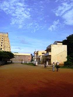
List of temples in Nagamangala
- Sri Yoganarasimha Temple
- Sri Sowmya Keshava Temple
- Sri Veerabhadreshwara & Bhadrakali Temple
- Sri anjenya temple,Kachenahalli
- Sri mulkattamma temple,mullakatae
- Sri ranganatha temple, laksmipura
sri kalaghantamma temple ,K mallenahalli
Demographics
As of 2011 India census,[1] Nagamangala had a population of 17776. Males constitute 50% of the population and females 50%. Nagamangala has an average literacy rate of 87.01%, higher than the state average of 75.36%: male literacy is 90.16%, and female literacy is 83.98%. In Nagamangala, 12% of the population is under 6 years of age.
References
- ↑ "Census of India 2001: Data from the 2001 Census, including cities, villages and towns (Provisional)". Census Commission of India. Archived from the original on 2004-06-16. Retrieved 2008-11-01.
External links
| Wikimedia Commons has media related to Nagamangala. |
This article is issued from
Wikipedia.
The text is licensed under Creative Commons - Attribution - Sharealike.
Additional terms may apply for the media files.