Mullwharchar
| Mullwharchar | |
|---|---|
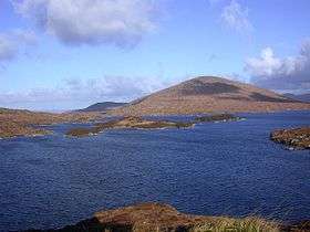 Mullwharchar behind Loch Enoch | |
| Highest point | |
| Elevation | 692 m (2,270 ft) |
| Prominence | 187 m (614 ft) |
| Parent peak | Merrick |
| Listing | Marilyn, Donald |
| Coordinates | 55°09′00″N 4°25′37″W / 55.15°N 4.426806°WCoordinates: 55°09′00″N 4°25′37″W / 55.15°N 4.426806°W |
| Geography | |
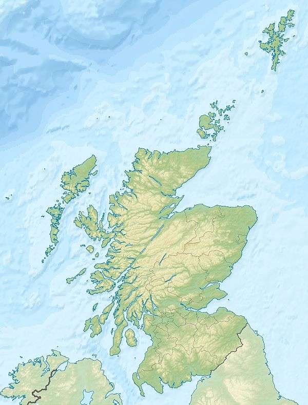 Mullwharchar Mullwharchar's location in Scotland | |
| Parent range | Dungeon hills, Galloway Hills |
| OS grid | NX454866 |
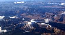
Mullwharchar is a hill in the Galloway Hills of the Southern Uplands of Scotland. Mullwarchar is situated to the north of Loch Enoch, west of Corserine, northeast of Merrick and east of Kirriereoch Hill. There are 3 cliffs on the mountain named The Slock, The Tauchers and The Organ Pipes and some routes on these are occasionally climbed. Mullwharchar's summit is fairly flat and dotted with erratics.
Nuclear Waste
A planning application was made in January 1978 to Kyle and Carrick District Council by the UKAEA to test drill on Mullwharchar for the purpose of dumping nuclear waste. On 24 October 1978, the Council rejected the application after considerable local protest, which included a petition with 100,000 signatures being sent to the Queen.[1] The appeal against the decision cost £19,700.[2]
References
- ↑ "Mullwharchar art goes to Holyrood - Dumfries and Galloway Standard". dgstandard.co.uk. 2013. Retrieved 22 June 2013.
s
- ↑ "Nuclear Waste Disposal (Mullwharchar) (Hansard, 23 March 1982)". hansard.millbanksystems.com. 2013. Retrieved 22 June 2013.