Mudigere
| Mudigere | |
|---|---|
| Taluk | |
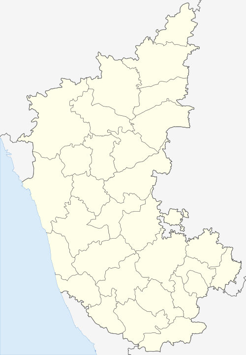
 Mudigere Location in Karnataka, India | |
| Coordinates: 13°08′13″N 75°36′22″E / 13.137°N 75.606°ECoordinates: 13°08′13″N 75°36′22″E / 13.137°N 75.606°E | |
| Country |
|
| State | Karnataka |
| District | Chikkamagaluru |
| Region | Malenadu |
| Elevation | 970 m (3,180 ft) |
| Population (2001) | |
| • Total | 8,962 |
| Languages | |
| • Official | Kannada |
| • Regional | Kannada |
| Time zone | UTC+5:30 (IST) |
| ISO 3166 code | IN-KA |
| Vehicle registration | KA-18 |
| Website |
karnataka |
Mudigere is a Town Panchayath and Taluk in Chikkamagaluru district in the Indian state of Karnataka.[1] It is 35 km from the district headquarters. Several pilgrimage sites are in the taluk including Hornadu (64 km) and Kalasa (52 km). Nearest airport is at Mangaluru which is at a distance of 122 km (76 mi).[2]
Geography and climate
Mudigere town is located at 13°08′16″N 75°36′22″E / 13.1378°N 75.6060°E. It has an average elevation of 970 m (3,180 ft)[3] . The annual rainfall is typically very high ranging from 3000 mm to 3500 mm per year.
Demographics
As of 2001 India census,[4] Mudigere had a population of 8,962. Males constituted 51% of the population and females 49%. Mudigere had an average literacy rate of 82%, higher than the national average of 59.5%: male literacy was 85%, and female literacy was 79%. In Mudigere in 2001, 10% of the population was under 6 years of age.
Taluks
There are twenty-nine Panchayath villages in Mudigere Taluk:[5]
Tourist Attractions
The temples Bettada Byraweshwara near Mekanagadde and Nanyada Byraweshwara near Byrapura (Hosakere), which is 25 km southerly to Mudigere, are popular tourist destinations in Mudigere.
Education
The College of Horticulture Mudigere which offers professional degree in Horticulture and Master's degree in Horticultural sciences (a sub-campus of the ) is also situated in Mudigere. Apart from this Zonal Horticultural Research Station, Zonal Agricultural Research Station, Krishi Vigyan Kendra are involved in conducting research and extension activities in the Hill zone of Karnataka.
Schools and colleges
- College of Horticulture Mudigere(under University of Agricultural and Horticultural Sciences, Shimoga)
- St Martha's High School/College
- DSBG Degree College
- Govt Junior College (Higher/PU)
- Govt Girls High School
- Nalanda High School
- EMRS College, Kottigehara
- Ashraya PU College, Mudigere
- M.E.S School,
- Malnad ITI College, Mudigere
- Malnad PU College [6]
- Nazareth school, Bankal
- Ekalavya Model Residential School, Taruve
- Harish Girls Science PU College
Notable People
See also
References
- ↑ Mudigere (Approved) at GEOnet Names Server, United States National Geospatial-Intelligence Agency
- ↑ "How to reach Mudigere". Make My Trip. Retrieved 2016-12-08.
- ↑ "Elevation of Mudigere".
- ↑ "Census of India 2001: Data from the 2001 Census, including cities, villages and towns (Provisional)". Census Commission of India. Archived from the original on 2004-06-16. Retrieved 2008-11-01.
- ↑ "Reports of National Panchayat Directory: Village Panchayat Names of Mudigere, Chikmagalur, Karnataka". Ministry of Panchayati Raj, Government of India. Archived from the original on 2013-04-17.
- ↑ "Malnad PU College".
External links
| Wikimedia Commons has media related to Mudigere. |