Mounth
| Mounth | |
|---|---|
| The Mounth | |
 Mounth | |
| Highest point | |
| Elevation | 1,068 metres (3,504 ft) |
| Coordinates | 57°02′35″N 2°37′37″W / 57.043°N 2.627°WCoordinates: 57°02′35″N 2°37′37″W / 57.043°N 2.627°W |
| Geography | |
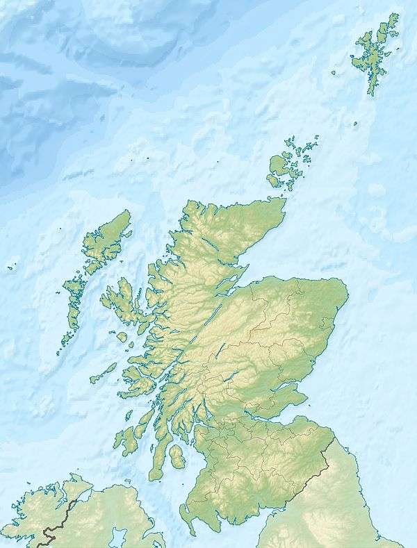
| Location | Aberdeenshire, Scotland |
The Mounth is the range of hills on the southern edge of Strathdee in northeast Scotland. It was usually referred to with the article, i.e. "the Mounth". The name is a corruption of the Scottish Gaelic monadh which in turn is akin to the Welsh mynydd, and may be of Pictish origin. Traditionally the people of northern Scotland did not consider the Grampians to be a single range, but several, and these were known as the Mounth or the Mounths. Mountain ranges to the west are known as Monadh Liath and the Monadh Ruadh, which could be glossed as the Grey Mounth and the Red Mounth.
The mountainous landforms of the Mounth form an outlying ridge of the Grampians stretching from Ballater in the west to the North Sea coast immediately north of Stonehaven. Historically they formed a formidable barrier which, to some extent, isolated the northeast of Scotland from the Scottish Lowlands, physically and culturally. In the Middle Ages an ancient roadway known as the Causey Mounth was built to connect Stonehaven to Aberdeen using an elevated rock causeway design to penetrate this boggy area of the eastern Mounth.[1] This route was by way of Cowie Castle, Muchalls Castle, Portlethen Moss and the Bridge of Dee. The route was that taken by Earl Marischal and the Marquess of Montrose when they led a Covenanter army of 9000 men in the first battle of the Wars of the Three Kingdoms in 1639.[2]
Crossings of the Mounth
There are numerous historic crossings of the Mounth[3], including:
- Causey Mounth or Cowie Mounth, between Bridge of Cowie near Stonehaven and the Bridge of Dee.
- Elsick Mounth or Netherley Road, from Stonehaven to Drum, followed by the modern B979 road
- The Slug Road, from Stonehaven to Durris, followed by the modern A957 road
- Cryn's Cross Mounth, from Laurencekirk to Mills of Drum
- The Stock Mounth, from Glenbervie to Strachan
- Builg Mounth, from Glenfarquhar to Deeside
- Cairnamounth or Cairn O' Mounth, from Fettercairn to Kincardine o' Neill, followed by the modern B974 road
- Fungle Road or Forest of Birse Mounth, from Glen Esk to Aboyne via the Forest of Birse
- Firmounth, from Glen Esk to Glen Tanar
- Keenmounth, from Innermarkie to Deeside over the shoulder of Mount Keen
- Capel Mounth, from Glen Clova to Glen Muick
- Tolmounth or Jock's Road, from Glen Doll to Glen Callater
- Monega Pass, from Glen Isla to Glen Clunie[4]
- Carnvalage or Cairnwell Road, from Gleann Beag to Glen Clunie, over the Devil's Elbow, and followed by the modern A93 road
- Glen Tilt Road, from Blair Atholl to White Bridge
- Lairig Ghru, from Speyside to Glen Dee
- Lairig an Laoigh, from Strathspey to Glen Derry
References
- ↑ C. Michael Hogan, Causey Mounth, Megalithic Portal, ed. by Andy Burnham, 3 Nov 2007
- ↑ Archibald Watt, Highways and Byways around Kincardineshire, Stonehaven Heritage Society (1985)
- ↑ G.M. Fraser, "The Old Deeside Road (Aberdeen to Braemar): Its Course, History, and Associations", The University Press, Aberdeen, 1921
- ↑ A. Graham, "The Military Road from Braemar to the Spital of Glen Shee, Proceedings of the Society of Antiquaries of Scotland, Volume 97, 1963-4
See also