Mount Zagora
| Jbel Zagora جبل زكورة | |
|---|---|
_(6).jpg) View of Jbel Zagora | |
| Highest point | |
| Elevation | 1,030 m (3,380 ft) |
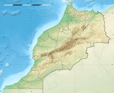
| Coordinates | 30°21′N 05°45′W / 30.350°N 5.750°WCoordinates: 30°21′N 05°45′W / 30.350°N 5.750°W |
| Geography | |
 Jbel Zagora | |
| Parent range | Little Atlas |
| Climbing | |
| First ascent | Unknown |
| Easiest route | From Zagora |
Mount Zagora (Jbel Zagora), also known as Tazagourt is a mountain in south-eastern Morocco, in the region of Drâa-Tafilalet.
Geography
The mountain is situated in the Little Atlas range and gives its name to the nearby town of Zagora. It has a double peak with one of the summits reaching 1030 m and the other 971 m.
On the top of the Zagora mountain the remains of an Almoravid fortress can still be seen.[1]
References
- ↑ Amzru and the Zagora Djebel Archived 2014-08-26 at the Wayback Machine.
External links
| High Atlas |
|
|---|---|
| Middle Atlas |
|
| Anti-Atlas |
|
| Saharan Atlas |
|
| Rif |
|
| Other peaks & ranges |
|
This article is issued from
Wikipedia.
The text is licensed under Creative Commons - Attribution - Sharealike.
Additional terms may apply for the media files.