Mount Schmid

Location of Sentinel Range in Western Antarctica.
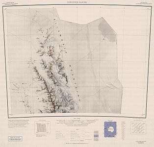
Northern Sentinel Range map.
Mount Schmid (77°58′S 85°40′W / 77.967°S 85.667°WCoordinates: 77°58′S 85°40′W / 77.967°S 85.667°W) is a mountain on the south side of Embree Glacier, rising 8 km east of Mount Goldthwait in Bangey Heights in the northern portion of the Sentinel Range, Antarctica. Mapped by USGS from surveys and US Navy air photos, 1957-59. Named by the US-ACAN for Captain Ernest A. Schmid, USAF, who participated in the establishment of the IGY South Pole Station during the 1956-57 season.[1]
References
- ↑ "Mount Schmid". Geographic Names Information System. United States Geological Survey. Retrieved 2005-10-02.
![]()
This article is issued from
Wikipedia.
The text is licensed under Creative Commons - Attribution - Sharealike.
Additional terms may apply for the media files.