Mount Musgrave
| Mount Musgrave | |
|---|---|
 Mount Musgrave | |
| Highest point | |
| Elevation | 546 m (1,791 ft) |
| Prominence | 546 m (1,791 ft) |
| Coordinates | 48°55′48″N 57°50′02″W / 48.93000°N 57.83389°WCoordinates: 48°55′48″N 57°50′02″W / 48.93000°N 57.83389°W |
| Geography | |
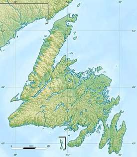
| Location | Newfoundland, Canada |
| Parent range | Long Range Mountains |
| Topo map | NTS 012/A13 |
| Climbing | |
| Easiest route | class 1 scramble |
Mount Musgrave is a mountain located in western Newfoundland, near the southern side of the Humber River valley at Steady Brook, approximately 7 km (4 mi) east of Corner Brook. The peak is named in honour of Sir Anthony Musgrave, a colonial governor of Newfoundland.
The steep ridges that form part of the northern side of the mountain are the location of Marble Mountain Ski Resort, the largest alpine ski resort in Atlantic Canada. The summit of the mountain hosts Environment Canada's doppler weather radar station "XME", part of the Canadian weather radar network.
See also
References
This article is issued from
Wikipedia.
The text is licensed under Creative Commons - Attribution - Sharealike.
Additional terms may apply for the media files.