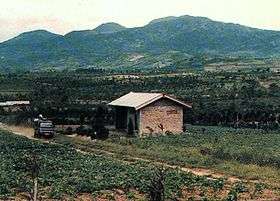
Mount Kaba
| Kaba | |
|---|---|
 | |
| Highest point | |
| Elevation | 1,952 m (6,404 ft) |
| Coordinates | 3°31′S 102°37′E / 3.52°S 102.62°E |
| Geography | |
| Location | Sumatra, Indonesia |
| Geology | |
| Mountain type | Stratovolcano |
| Last eruption | August 2000 |
Kaba, a twin volcano with Mount Hitam in Bengkulu Province of Indonesia, has an elongated summit crater complex dominated by three large historically active craters trending ENE from the summit to the upper NE flank. The SW-most crater of Gunung Kaba, Kawah Lama, is the largest. Most historical eruptions have affected only the summit region of the volcano. They mostly originated from the central summit craters, although the upper-NE flank crater Kawah Vogelsang also produced explosions during the 19th and 20th centuries. In 1833 an eruption ejected water from the crater lake, forming lahars that produced damage and fatalities at Talang, Klingi, and Bliti villages.
See also
References
- "Kaba". Global Volcanism Program. Smithsonian Institution. Retrieved 2018-01-27.
External links
This article is issued from
Wikipedia.
The text is licensed under Creative Commons - Attribution - Sharealike.
Additional terms may apply for the media files.