Mount Eniwa
| Mount Eniwa | |
|---|---|
| 恵庭岳 | |
.jpg) From Lake Shikostu, March 2007 | |
| Highest point | |
| Elevation | 1,320 m (4,330 ft) [1] |
| Listing | List of mountains and hills of Japan by height |
| Coordinates | 42°47′36″N 141°17′8″E / 42.79333°N 141.28556°ECoordinates: 42°47′36″N 141°17′8″E / 42.79333°N 141.28556°E |
| Geography | |
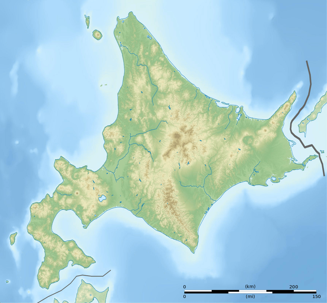
| Location | Hokkaidō, Japan |
| Parent range | Nasu Volcanic Zone |
| Topo map | Geographical Survey Institute (国土地理院 Kokudochiriin) 25000:1 恵庭岳, 50000:1 樽前山 |
| Geology | |
| Age of rock | Holocene |
| Mountain type | Stratovolcano |
| Volcanic arc/belt | Northeastern Japan Arc |
| Last eruption | 1707 ± 30[2] |
| Climbing | |
| Easiest route | Hike |

Mount Eniwa (恵庭岳 Eniwa-dake) is an active[3] volcano located in Shikotsu-Toya National Park in Hokkaidō, Japan. It sits opposite Mount Tarumae and Mount Fuppushi on the shores of Lake Shikotsu, the caldera lake that spawned the volcanoes. Mount Eniwa is the tallest of the three volcanoes.
Eruptions
The last eruption occurred around the start of the 18th century (c. 1700 ±30 years). There are no historical records of this, but tephrochronology indicates phreatic explosions with mudflows from crater 3. Two centuries before this eruption (c. 1550 ±75 years), radiocarbon dating indicates a similar eruption from crater 2. Around the same time (c. 1500 ±150 years), radiocarbon dating indicates another eruption, but from crater 1. This eruption included debris avalanches instead of mudflows. The oldest eruption that has been dated is an explosive eruption from the east side of the summit around 100 BCE ± 100 years according to radiocarbon dating. All these events were central vent eruptions with a volcanic explosivity index (VEI) of 2.[2]
Climbing Route
A single trail climbs the eastern side of the mountain. It gets progressively steeper as you climb. The trail starts in a forest about one 1 kilometre (0.6 mi) from Poropinai. The treeline is at about 800 metres (2,600 ft). From there the terrain is rocky and alpine. The climb takes 3-3.5 hours.[4][5]
1972 Winter Olympics
At the 1972 Winter Olympics, Mount Eniwa was the site of the men's and women's downhill ski races.[6] The course started at the summit and finished on the southwest slope.[7] The technical events of giant slalom and slalom were held at Teine.
Notes
- ↑ Geological Survey of Japan website Archived 2007-05-26 at Archive.is data from ASTER
- 1 2 "Shikotsu: Eruptive History". Global Volcanism Program. Smithsonian Institution. Retrieved 2008-04-24.
- ↑ Paul Hunt, Hiking in Japan: An Adventurer's Guide to the Mountain Trails, pg. 179
- ↑ Paul Hunt, Hiking in Japan: An Adventurer's Guide to the Mountain Trails, pg. 181
- ↑ Robert Storey, North-East Asia on a Shoestring, pg. 327
- ↑ "SHIKOTSU-KO". World Lakes Database. International Lake Environment Committee. Archived from the original on 2009-04-16. Retrieved 2008-12-02.
- ↑ 1972 Winter Olympics official report. pp. 281-4.
References
- Geographical Survey Institute
- Paul Hunt, Hiking in Japan: An Adventurer's Guide to the Mountain Trails, Tokyo, Kodansha International Ltd., 1988. ISBN 0-87011-893-5 and ISBN 4-7700-1393-0 C0075
- Robert Storey, North-East Asia on a Shoestring, Singapore, Lonely Planet Publications, 3rd Edition March 1992. ISBN 0-86442-135-4
External links

- Eniwadake - Japan Meteorological Agency (in Japanese)
- "Eniwadake: National catalogue of the active volcanoes in Japan" (PDF). - Japan Meteorological Agency
- Eniwa Dake - Geological Survey of Japan
- Shikotsu: Global Volcanism Program - Smithsonian Institution
