Mount Bruce (Western Australia)
| Mount Bruce | |
|---|---|
| Punurrunha | |
 Mount Bruce | |
| Highest point | |
| Elevation | 1,234 m (4,049 ft) |
| Coordinates | 22°34′05″S 118°04′34″E / 22.56806°S 118.07611°ECoordinates: 22°34′05″S 118°04′34″E / 22.56806°S 118.07611°E |
| Geography | |
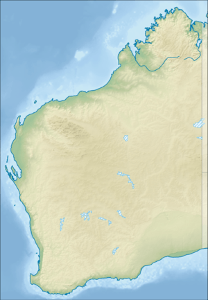
| Location | Pilbara region, Western Australia |
| Parent range | Hamersley Range |
Mount Bruce is the second highest mountain in the state of Western Australia.
Mount Bruce lies 62 kilometres (39 mi) northwest of Mount Meharry, the highest peak in the state. It is a part of the Hamersley Range in the Pilbara. A number of walks exist on the mountain including the relatively easy Marandoo walk that offers a view over the Marandoo minesite, the more difficult Honey Hakea walk and the summit track.
Mount Bruce reaches 1,234 m (4,049 ft), being 15 m (49 ft) lower than Mount Meharry.
The Aboriginal name for the mountain is Punurrunha.[1]
References
- ↑ "Mount Bruce (Punurrunha)". Drive WA. 2010. Archived from the original on 2016-04-15. Retrieved 2 June 2011.
This article is issued from
Wikipedia.
The text is licensed under Creative Commons - Attribution - Sharealike.
Additional terms may apply for the media files.