Mont Bégo
| Mont Bégo | |
|---|---|
 The peak of Mont Bégo | |
| Highest point | |
| Elevation | 2,872 m (9,423 ft) [1] |
| Prominence | 323 m (1,060 ft) [1] |
| Listing | Alpine mountains 2500-2999 m |
| Coordinates | 44°04′23″N 7°27′03″E / 44.07306°N 7.45083°ECoordinates: 44°04′23″N 7°27′03″E / 44.07306°N 7.45083°E |
| Geography | |
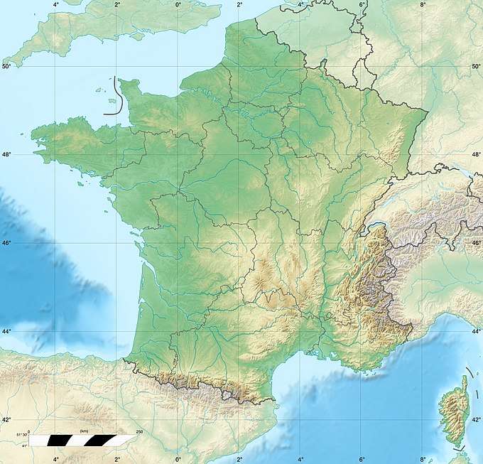 Mont Bégo France | |
| Location | Provence-Alpes-Côte d'Azur, France |
| Parent range | Maritime Alps |
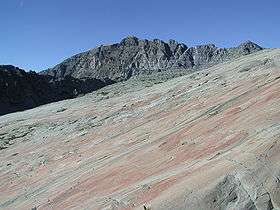
Mont Bégo (Italian: Monte Bego) is a mountain in the Mercantour massif of the Maritime Alps, in southern France, with an elevation of 2,872 metres (9,423 ft). It is included in the Vallée des Merveilles ("Valley of Marvels").
Etymology
The name derives from the ancient Indo-European root beg, meaning "divine"; it was, in fact a sacred area to the Liguri tribe, together with the Monte Beigua and Monte Sagro in Italy.
Geology
It is mostly composed of conglomerates from the Permian period.
SOIUSA classification
According to the SOIUSA (International Standardized Mountain Subdivision of the Alps) the mountain can be classified in the following way:[2]
- main part = Western Alps
- major sector = South Western Alps
- section = Maritime Alps
- subsection = (Fr:Alpes Maritimes d.l.s.l./It:Alpi Marittime)
- supergroup = (Fr:Massif Gelas-Grand Capelet/It:Gelas-Grand Capelet)
- group = (Fr:Chaîne Basto-Grand Capelet/It:Costiera Basto-Grand Capelet)
- subgroup = (Fr:Nœud du Mont Bego/It:Nodo del Monte Bego)
- code = I/A-2.1-A.3.e
References
- 1 2 ''Mont Bégo, France, www.peakbagger.com
- ↑ Marazzi, Sergio (2005). Atlante Orografico delle Alpi. SOIUSA (in Italian). Priuli & Verlucca. p. 67. ISBN 978-88-8068-273-8.
![]()
This article is issued from
Wikipedia.
The text is licensed under Creative Commons - Attribution - Sharealike.
Additional terms may apply for the media files.