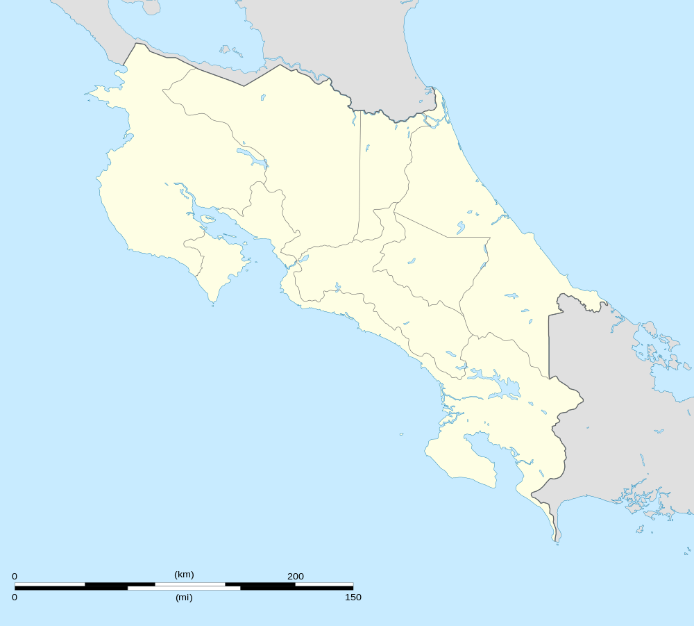
Monterrey, San Carlos
| Monterrey | |
|---|---|
| District | |
 Monterrey | |
| Coordinates: 10°32′12″N 84°39′33″W / 10.53667°N 84.65917°WCoordinates: 10°32′12″N 84°39′33″W / 10.53667°N 84.65917°W | |
| Country |
|
| Province | Alajuela |
| Canton | San Carlos |
| Area | |
| • Total | 220.12 km2 (84.99 sq mi) |
| Elevation | 100-600 m (−1,900 ft) |
| Population (2011) | |
| • Total | 3,455 |
| • Density | 16/km2 (41/sq mi) |
| Time zone | UTC−06:00 |
| ZIP codes | 21012 |
Monterrey is the name of the district number 12 of the Canton of San Carlos, which in turn belongs to the province of Alajuela in Costa Rica.
Location
It is located in the northern region of the country and borders with Pocosol to the north, La Fortuna and Tilarán to the south, La Fortuna and Cutris to the east and Venado to the west.
Its head, the town of Monterrey, is located 50.6 Km (1 hour 2 minutes) to the NW of Ciudad Quesada and 142 Km (2 hours 47 minutes) to the NW of San Jose the capital of the nation.
Geography
Monterrey has an area of 220.12 km², which makes it the fifth district of the canton by area.
It is located at an elevation of between 100 to 2200 meters above sea level.
Demography
The district has 3 455 inhabitants, making it the 11th most populated of the canton.[1]
Monterrey has 17 population centers:
- Santo Domingo
- Mirador
- Santa Marta
- Montelimar
- San Andrés
- San Cristóbal
- La Unión
- San Antonio
- Pataste
- Sabalito
- San Miguel
- San Juan
- Las Delicias
- Chambacú
- La Orquídea
- Alto de Monterrey
- San Eulalia
Economy
The district is characterized by a fresh climate, mountains and evergreen grasslands that together with the wealth and abundance of water, allows the development of meat and milk breeding, as well as planting roots and tubers.
See also
- Canton of San Carlos
- District of Quesada
- District of Florencia
- District of Buenavista
- District of Aguas Zarcas
- District of Venecia
- District of Pital
- District of La Fortuna
- District of La Tigra
- District of La Palmera
- District of Venado
- District of Cutris
- District of Pocosol
- List of districts of Costa Rica
References
- ↑ "2011 Census Population Report" (pdf). INEC.