Millers Island
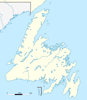
Location of Millers Island in Newfoundland
Millers Island (alternatively Cerise[1]) is a small island[2] located in White Bay[3] in the Canadian province of Newfoundland and Labrador. The nearest settlement is Hampden, where it can be seen clearly from the shore.[4] On the island a graveyard from 1924 can be spotted, where victims of tuberculosis were buried in order to prevent the contamination of local water supplies.[5] Its highest point is about 130 feet above the high-water line.[2]
See also
References
- ↑ Office, United States. Hydrographic (1942). Sailing Directions for Newfoundland: Including the Coast of Labrador from Long Point to St. Lewis Sound. U.S. Government Printing Office. Retrieved 2 November 2017.
- 1 2 Dept, Great Britain. Hydrographic (1887). The Newfoundland and Labrador Pilot. pp. 177–. Retrieved 2 November 2017.
- ↑ Howley, James Patrick (1876). Geography of Newfoundland. Edward Stanford. pp. 7–. Retrieved 2 November 2017.
- ↑ "Millers Island / Millers Island, Newfoundland, Canada, North America". travelingluck.com.
- ↑ Geocaching. "Sojourn #8 - Miller's Island Graveyard".
This article is issued from
Wikipedia.
The text is licensed under Creative Commons - Attribution - Sharealike.
Additional terms may apply for the media files.