Merced station (Amtrak)
Merced, CA | ||||||||||||||||||||||||||
|---|---|---|---|---|---|---|---|---|---|---|---|---|---|---|---|---|---|---|---|---|---|---|---|---|---|---|
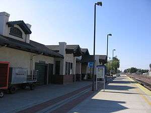 The latest Merced Depot, built in 2000 | ||||||||||||||||||||||||||
| Location |
324 West 24th Street Merced, California United States | |||||||||||||||||||||||||
| Coordinates | 37°18′26″N 120°28′36″W / 37.3073°N 120.4768°WCoordinates: 37°18′26″N 120°28′36″W / 37.3073°N 120.4768°W | |||||||||||||||||||||||||
| Owned by | State of California | |||||||||||||||||||||||||
| Line(s) | BNSF Stockton Subdivision[1] | |||||||||||||||||||||||||
| Platforms | 1 side platform | |||||||||||||||||||||||||
| Tracks | 2 | |||||||||||||||||||||||||
| Connections |
Amtrak Thruway Motorcoach Merced County Transit (The Bus) Yosemite Area Regional Transportation System (YARTS) | |||||||||||||||||||||||||
| Construction | ||||||||||||||||||||||||||
| Structure type | At-grade | |||||||||||||||||||||||||
| Parking |
12 short term spaces 34 long term spaces | |||||||||||||||||||||||||
| Disabled access | Yes | |||||||||||||||||||||||||
| Other information | ||||||||||||||||||||||||||
| Station code | MCD | |||||||||||||||||||||||||
| History | ||||||||||||||||||||||||||
| Opened | 1917[2] | |||||||||||||||||||||||||
| Rebuilt | 2000[2] | |||||||||||||||||||||||||
| Traffic | ||||||||||||||||||||||||||
| Passengers (2017) |
126,148[3] | |||||||||||||||||||||||||
| Services | ||||||||||||||||||||||||||
| ||||||||||||||||||||||||||
| Location | ||||||||||||||||||||||||||
 Merced, CA Location within California | ||||||||||||||||||||||||||
Merced is a staffed train station in Merced, California, United States that is served by Amtrak (the National Railroad Passenger Corporation)/Amtrak California's San Joaquin. The design of Merced Station was inspired by the former Atchison, Topeka and Santa Fe Railway station that was torn down at the end of the 20th Century.[2] The station provides the nearest rail access to the Yosemite National Park.
Of the 78 California stations served by Amtrak, Merced was the 25th-busiest in FY2013, boarding or detraining an average of approximately 368 passengers daily.[4]
Platform and tracks
On the west end of the station there are only two tracks, but by the east end of the station, the northern track has diverged to three tracks. The side platform only serves the south track.
| North tracks | ■ Freight line | No passenger service |
| South track | ■ San Joaquin | toward Oakland or Sacramento (Turlock/Denair) |
| ■ San Joaquin | toward Bakersfield (Madera) |
Bus connections
Amtrak California Thruway Motorcoach:
- Route 15 to Yosemite (operated by YARTS as Highway 140 Route)
Merced County Transit (The Bus):
- Route M5
Yosemite Area Regional Transportation System (YARTS):
- Highway 140 Route to Mariposa/Yosemite
History
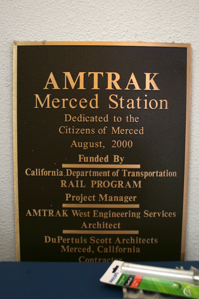
The original depot was built by the San Francisco and San Joaquin Valley Railroad (SF&SJV) when it laid it tracks through Merced in 1896. However, that depot was later replaced by another larger depot built in the same immediate area by the Atchison, Topeka and Santa Fe Railway (ATSF or Santa Fe) in 1917. By 2000 the ATSF depot was torn down and replaced with another new one by the State of California. The newest depot building is very similar in appearance to the former ATSF Depot, but is much more functional and is more accommodating to bus service to the Yosemite National Park,[2][5] particularly Amtrak's Thruway Motorcoach connections.
References
- ↑ BNSF Subdivision Map Archived 2013-03-13 at the Wayback Machine.
- 1 2 3 4 "Great American Stations: Merced, CA (MCD)". greatamericanstations.com. Amtrak. Retrieved 5 Jul 2014.
- ↑ "Amtrak Fact Sheet, FY2017, State of California" (PDF). Amtrak. November 2017. Retrieved 23 December 2017.
- ↑ "Amtrak Fact Sheet, FY2013, State of California" (PDF). Amtrak. Nov 2013. Retrieved 29 Jun 2014.
- ↑ Cox, Jeremiah (14 Feb 2012). "Merced Plaque". subwaynut.com. Retrieved 5 Jul 2014.
External links
![]()