Matana
| Matana | |
|---|---|
| Town | |
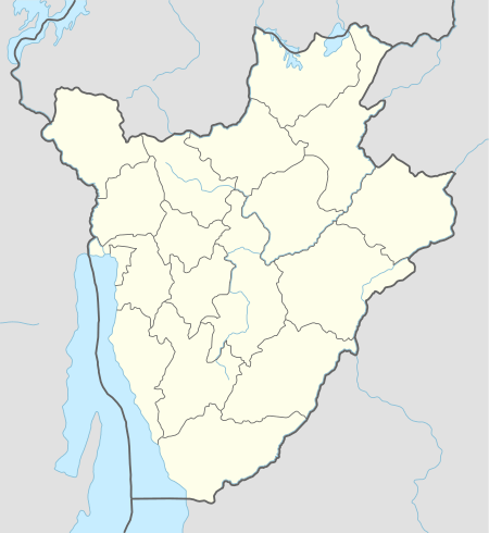 Matana Location in Burundi | |
| Coordinates: 3°46′01.2″S 29°41′30.0″E / 3.767000°S 29.691667°ECoordinates: 3°46′01.2″S 29°41′30.0″E / 3.767000°S 29.691667°E | |
| Country |
|
| Province | Bururi Province |
| Commune | Commune of Matana |
| Elevation | 1,900 m (6,200 ft) |
| Time zone | UTC+2 (Central Africa Time) |
Matana is a Burundian town and colline, seat of the Commune of Matana, in Bururi Province.[1]
Geography
It is a mountain town is located at 1,900 metres (6,200 ft), and is crossed in the middle by the national highway RN7, that links Bujumbura (94 km northwest), the national capital, to the town of Rutana (49 km southeast). It is 15 km north of Songa, 30 km north of Bururi, and the nearest places are the villages of Rubanga and Butwe.[1][2]
Religion
Matana is the seat of the homonym Anglican diocese, part of the Province of the Anglican Church of Burundi.[3]
References
- 1 2 1343329007 Matana on OpenStreetMap
- ↑ Google. "Matana" (Map). Google Maps. Google.
- ↑ The Diocese of Matana (Anglican Communion website)
External links
Capital: Bururi | |
| Commune of Bururi |
|
| Commune of Matana |
|
| Commune of Mugamba |
|
| Commune of Rutovu | |
| Commune of Songa | |
| Commune of Vyanda | |
This article is issued from
Wikipedia.
The text is licensed under Creative Commons - Attribution - Sharealike.
Additional terms may apply for the media files.