Mary Tavy
| Mary Tavy | |
|---|---|
.jpg) Barn and church, Mary Tavy | |
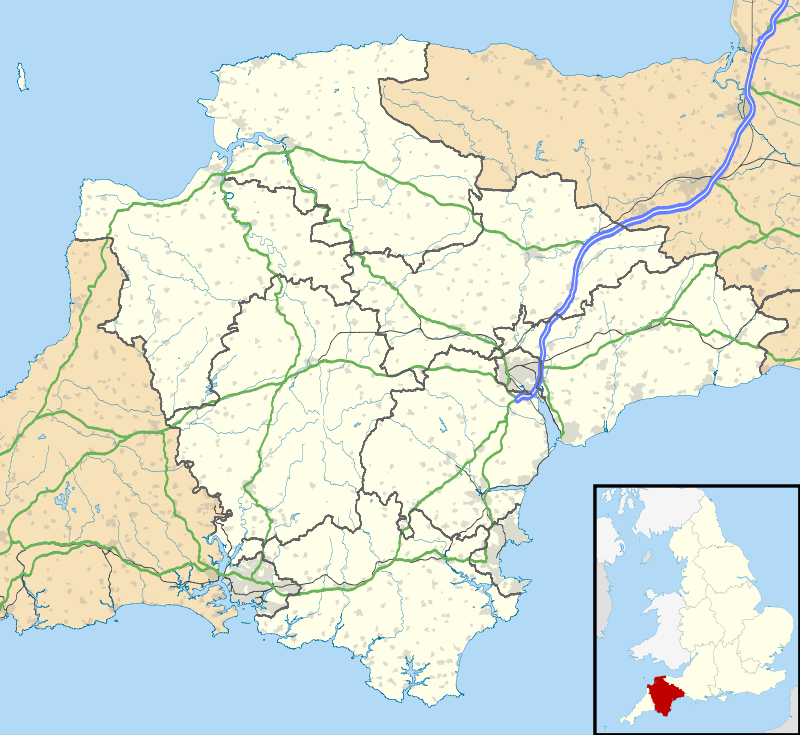 Mary Tavy Mary Tavy shown within Devon | |
| Population | 600 approx |
| OS grid reference | SX5079 |
| District | |
| Shire county | |
| Region | |
| Country | England |
| Sovereign state | United Kingdom |
| Post town | TAVISTOCK |
| Postcode district | PL19 |
| Police | Devon and Cornwall |
| Fire | Devon and Somerset |
| Ambulance | South Western |
| EU Parliament | South West England |
| UK Parliament | |
Mary Tavy is a village with a population of around 600, located four miles north of Tavistock in Devon in south-west England; it is named after the River Tavy. There is an electoral ward with the same name. Its population at the 2011 census was 1,559.[1] Mary Tavy used to be home to the world's largest copper mine Wheal Friendship, as well as a number of lead and tin mines. It lies within Dartmoor National Park. The village lies a mile or two north of Peter Tavy; both were shown as separate settlements in the Domesday Book entry of 1086.
St Mary's Parish Church has a pinnacled west tower built of granite, a south porch with old wagon roof and a south transept built in 1893.[2]
To deter highwaymen from attacking travellers along the road between Tavistock and Okehampton, captured highwaymen were hanged from a gibbet on what is now known as 'Gibbet Hill'.
Notable People
- The topographer William Crossing was for part of his life resident at Mary Tavy.
- The Canadian financier James Henry Plummer was born here..
- The YouTube content producer Sjin was brought up here.
References
- ↑ "ward population 2011". Retrieved 17 February 2015.
- ↑ Pevsner, N. (1952) South Devon. Penguin Books
External links
![]()