Marcala Airport
| Marcala Airport | |||||||||||
|---|---|---|---|---|---|---|---|---|---|---|---|
| Summary | |||||||||||
| Serves | Marcala | ||||||||||
| Coordinates | 14°09′43″N 88°02′04″W / 14.16194°N 88.03444°WCoordinates: 14°09′43″N 88°02′04″W / 14.16194°N 88.03444°W | ||||||||||
| Map | |||||||||||
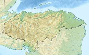 MRJ Location in Honduras | |||||||||||
| Runways | |||||||||||
| |||||||||||
Marcala Airport (IATA: MRJ, ICAO: MHMA) was an airport formerly serving Marcala, a municipality in La Paz Department, Honduras.
Aerial imaging[1][2] shows a soccer stadium built midfield on the former 850 metres (2,790 ft) grass runway, with buildings covering both the north and south ends.
Google Earth[4] Historical Images show the soccer field was completed and the airport closed sometime prior to 2002.
References
- 1 2 Google Maps - Marcala
- 1 2 HERE Maps - Marcala
- ↑ Airport information for MRJ at Great Circle Mapper.
- ↑ Google Earth Historical Images
This article is issued from
Wikipedia.
The text is licensed under Creative Commons - Attribution - Sharealike.
Additional terms may apply for the media files.