Mangroves National Park
| Mangroves National Park | |
|---|---|
|
IUCN category II (national park) | |
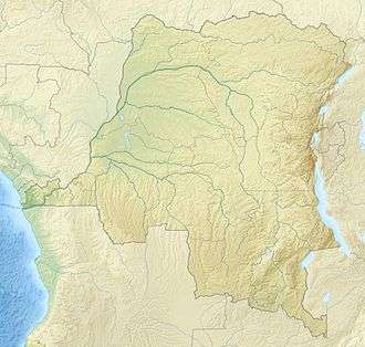 | |
| Location | Democratic Republic of the Congo |
| Coordinates | 5°45′S 12°45′E / 5.750°S 12.750°ECoordinates: 5°45′S 12°45′E / 5.750°S 12.750°E |
| Area | 768 km² |
| Established | 1992 |
| Governing body | l'Institut Congolais pour la Conservation de la Nature (ICCN) |
| Official name | Parc national des Mangroves |
| Designated | 18 January 1996 |
| Reference no. | 788[1] |
Mangroves National Park (also Parc Marine or Muanda Marine Reserve) is a protected area and Ramsar wetland in the Democratic Republic of the Congo. It is the country's only marine park and is notable for its mangrove forests. It provides protection to the endangered manatee population situated at the mouth of the Congo River.[2] These mangroves are distinct from the ones found in south Asia. They form a separate type of mangrove forests, which are typical to the Democratic Republic of Congo. The park was established in 1992.[2]
Geography
At 768 km2 (297 sq mi) in size, Mangroves National Park is DR Congo's smallest protected area.[2]
Flora and fauna
In addition to the manatee, the area supports hippos, crocodile, snake,[2] and Southern reedbuck; bushbuck may be present.[3]
References
- ↑ "Parc national des Mangroves". Ramsar Sites Information Service. Retrieved 25 April 2018.
- 1 2 3 4 Rorison, Sean (2008). Bradt Congo: Democratic Republic - Republic. Bradt Travel Guides. pp. 120–121. ISBN 978-1-84162-233-0.
- ↑ East, Rod (1990). Antelopes: West and Central Africa. 1990. International Union for Conservation of Nature. pp. 131, 135–. ISBN 978-2-8317-0016-8. Retrieved 18 May 2013.