Mandraka Dam
| Mandraka Dam | |
|---|---|
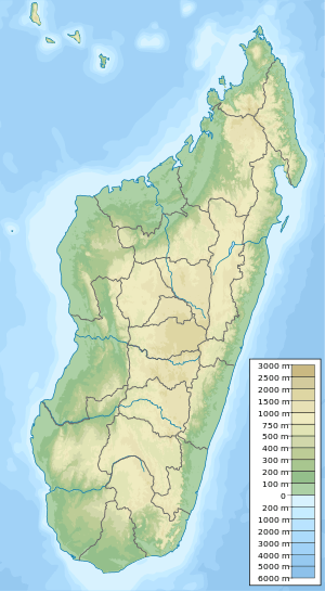 Location of Mandraka Dam in Madagascar | |
| Country | Madagascar |
| Location | Mandraka, Analamanga Region |
| Coordinates | 18°55′16.79″S 47°55′46.14″E / 18.9213306°S 47.9294833°ECoordinates: 18°55′16.79″S 47°55′46.14″E / 18.9213306°S 47.9294833°E |
| Purpose | Power |
| Status | Operational |
| Opening date | 1956 |
| Owner(s) | Jirama |
| Dam and spillways | |
| Type of dam | Gravity |
| Impounds | Mandraka River |
| Height | 20 m (66 ft) |
| Reservoir | |
| Creates | Lake Mandraka |
| Total capacity | 36×106 m3 (29,000 acre⋅ft) |
| Mandraka Power Station | |
| Coordinates | 18°55′35.37″S 47°56′49.51″E / 18.9264917°S 47.9470861°E |
| Commission date | 1958-1972 |
| Hydraulic head | 226 m (741 ft) |
| Turbines | 4 x 6 MW (8,000 hp) Pelton-type |
| Installed capacity | 24 MW (32,000 hp) |
Mandraka Dam is a gravity dam on the Mandraka River near Mandraka in the Analamanga Region of Madagascar. The dam was constructed by a French firm by 1956 and creates Lake Mandraka.[1]
Mandraka Power Station
The dam supplies water to a 24 megawatts (32,000 hp) hydroelectric power station 1.9 km (1.2 mi) to the east, down in the valley. The change in elevation between the dam and power station affords a hydraulic head on 226 metres (741 ft).[2][3] The dam and power station are operated and owned by Jirama and the four 6 megawatts (8,000 hp) Pelton turbine-generators were commissioned between 1958 and 1972.[4]
See also
- Mantasoa Dam – regulates water flow to Mandraka Dam
References
- ↑ "The French civil engineering works in the world dams 1860-2012" (PDF). IESF. Archived from the original (PDF) on 18 March 2014. Retrieved 17 March 2014.
- ↑ "Dams of Madagascar". UN FAO. Retrieved 17 March 2014.
- ↑ "References – ANDRITZ HYDRO". Andritz. Retrieved 18 March 2014.
- ↑ "Hydroelectric Power Plants in Southern Africa". IndustCards. Archived from the original on 4 February 2014. Retrieved 18 March 2014.
This article is issued from
Wikipedia.
The text is licensed under Creative Commons - Attribution - Sharealike.
Additional terms may apply for the media files.