Malvern, Gauteng
| Malvern | |
|---|---|
 Malvern | |
|
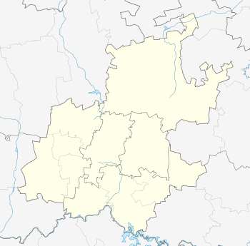
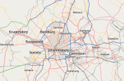
Location within Greater Johannesburg  Malvern  Malvern Malvern (South Africa)  Malvern Malvern (Africa) | |
| Coordinates: 26°12′04″S 28°06′07″E / 26.201°S 28.102°ECoordinates: 26°12′04″S 28°06′07″E / 26.201°S 28.102°E | |
| Country | South Africa |
| Province | Gauteng |
| Municipality | City of Johannesburg |
| Main Place | Johannesburg |
| Established | 1904 |
| Area[1] | |
| • Total | 1.62 km2 (0.63 sq mi) |
| Population (2011)[1] | |
| • Total | 10,525 |
| • Density | 6,500/km2 (17,000/sq mi) |
| Racial makeup (2011)[1] | |
| • Black African | 86.0% |
| • Coloured | 6.3% |
| • Indian/Asian | 1.4% |
| • White | 5.6% |
| • Other | 0.7% |
| First languages (2011)[1] | |
| • Zulu | 39.7% |
| • English | 19.2% |
| • Afrikaans | 5.9% |
| • Xhosa | 5.8% |
| • Other | 29.3% |
| Time zone | UTC+2 (SAST) |
| Postal code (street) | 4093 |
| PO box | 4055 |
Malvern is a suburb of Johannesburg, South Africa. Situated east of the Johannesburg CBD, it lies south of Kensington and north of the industrial suburb of Denver. It is located in Region F of the City of Johannesburg Metropolitan Municipality.
History
Prior to the discovery of gold on the Witwatersrand in 1886, the suburb lay on land on one of the original farms that make up Johannesburg, called Doornfontein.[2] The area is named after Malvern or Malvern Hills in Worcestershire with the land proclaimed as a suburb on 24 June 1904.[2] It was previously called Morriston.[3]:177
References
- 1 2 3 4 "Sub Place Malvern". Census 2011.
- 1 2 Raper, Peter E.; Moller, Lucie A.; du Plessis, Theodorus L. (2014). Dictionary of Southern African Place Names. Jonathan Ball Publishers. p. 1412. ISBN 9781868425501.
- ↑ Musiker, Naomi; Musiker, Reuben (2000). A Concise Historical Dictionary of Greater Johannesburg. Cape Town: Francolin. ISBN 1868590712.
This article is issued from
Wikipedia.
The text is licensed under Creative Commons - Attribution - Sharealike.
Additional terms may apply for the media files.