Mallahle
| Mallahle | |
|---|---|
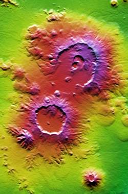 False-color topographical relief image of Nabro caldera (top; in Eritrea) next to the Mallahle volcanic caldera, then Sork Ale in the bottom right. | |
| Highest point | |
| Elevation | 1,875 m (6,152 ft) [1] |
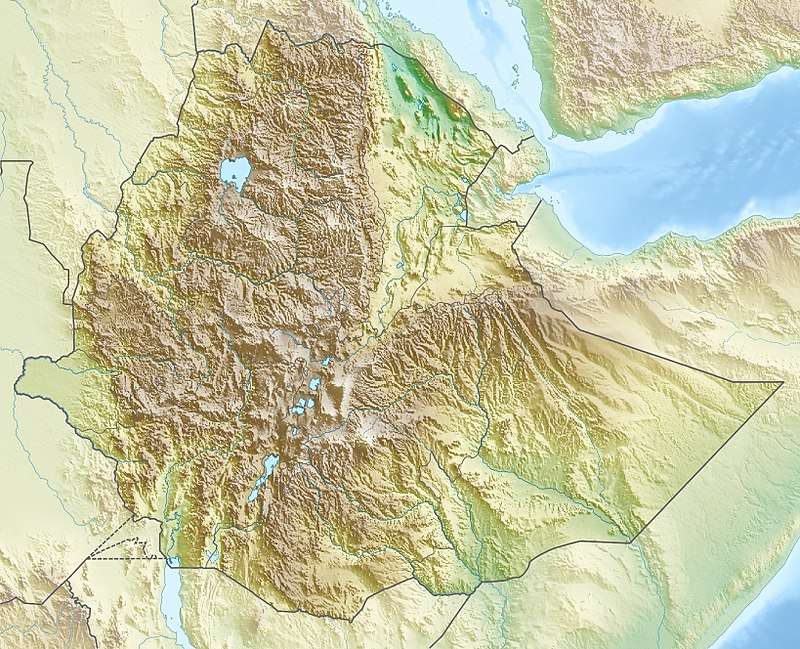
| Coordinates | 13°16′N 41°39′E / 13.27°N 41.65°ECoordinates: 13°16′N 41°39′E / 13.27°N 41.65°E [1] |
| Geography | |
 Mallahle | |
| Geology | |
| Mountain type | Stratovolcano |
| Last eruption | Holocene? |
Mallahle (also Mallali or Aruku[2]) is a stratovolcano on the border of Ethiopia and Eritrea, with a 6 km wide caldera.[1]
Mallahle is the highest peak in the Afdera region of Ethiopia. It is located in the Danakil Horst at the southern end of the Danakil Alps It makes up part of the Bidu volcanic complex (with the Nabro Volcano, Bara Ale and Sork Ale).[3]
References
This article is issued from
Wikipedia.
The text is licensed under Creative Commons - Attribution - Sharealike.
Additional terms may apply for the media files.