Malinik
| Malinik | |
|---|---|
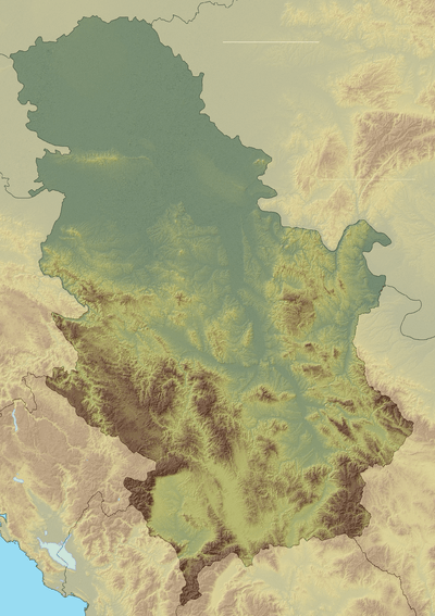 Malinik Location in Serbia | |
| Highest point | |
| Elevation | 1,158 m (3,799 ft) [1] |
| Coordinates | 44°04′59″N 21°49′26″E / 44.08306°N 21.82389°ECoordinates: 44°04′59″N 21°49′26″E / 44.08306°N 21.82389°E |
| Geography | |
| Location | Eastern Serbia |
Malinik (Serbian Cyrillic: Малиник) is a mountain in eastern Serbia. Its highest peak, Veliki Malinik has an elevation of 1,158 metres above sea level. Smaller peak, Mali Malinik, is 1019 m.
The most prominent features of Malinik are spectacular Lazar's Gorge (Lazarev kanjon) of the eponymous river, carved almost vertically in the mountain's karst masif, and Lazar's Cave (Lazareva pećina) near the village of Zlot.[2][3]
References
- ↑ Jovan Đokić. "Katalog planina Srbije". PSD Kopaonik Beograd. Archived from the original on 2011-05-18.
- ↑ Lazarev kanjon (in Serbian), Serbian Travel Club
- ↑ Lazareva pećina (Zlot) – Veliki Malinik – Mali Malinik – Valja Rnž (Podgorac) (17,5km) (in Serbian), Staze i bogaze
This article is issued from
Wikipedia.
The text is licensed under Creative Commons - Attribution - Sharealike.
Additional terms may apply for the media files.