Malik, Cambodia
| Malik ម៉ាលិក | |
|---|---|
| Commune | |
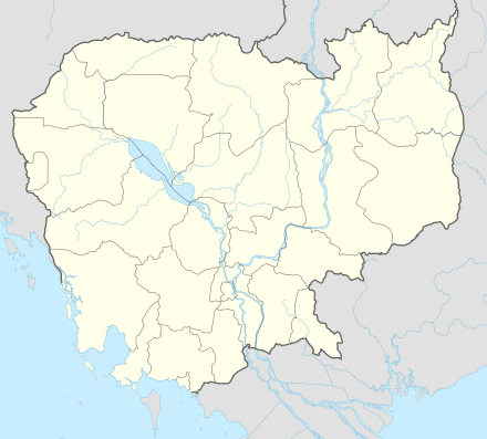 Malik Location within Cambodia | |
| Coordinates: 13°51′00″N 107°16′00″E / 13.85000°N 107.26667°ECoordinates: 13°51′00″N 107°16′00″E / 13.85000°N 107.26667°E | |
| Country |
|
| Province | Ratanakiri |
| District | Andoung Meas District |
| Population (1998) | |
| • Total | 1,440 |
| Time zone | UTC+07 |
Malik (Khmer: ម៉ាលិក) is a commune in Andoung Meas District in north-east Cambodia. It contains four villages and has a population of 1,440.[1] In the 2007 commune council elections, all five seats went to members of the Cambodian People's Party.[2] The land alienation rate in Malik was moderate as of January 2006.[3] (See Ratanakiri Province for background information on land alienation.)
Villages
| Village[1][4][5] | Population[1] (1998) | Sex ratio[1] (male/female) (1998) | Number of households[1] (1998) | Notes |
|---|---|---|---|---|
| Malik | 417 | 214/203 | ||
| Katae | 295 | 145/150 | ||
| Ka Hal | 289 | 136/153 | ||
| Loum | 439 | 233/206 |
References
- 1 2 3 4 5 "Final Population Totals, Rotanak Kiri Province, 1998" (PDF). Cambodia National Institute of Statistics. Archived from the original (PDF) on October 29, 2008. Retrieved June 6, 2008.
- ↑ "Official Results of the 2007 Commune Councils Election in Ratank Kiri" (PDF). [sic] National Election Committee, No 4.58/07 NEC.SG.PIB. April 18, 2007. Archived from the original (PDF) on June 2, 2008. Retrieved June 6, 2008.
- ↑ "Land Alienation in Indigenous Minority Communities - Ratanakiri Province, Cambodia" (PDF). NGO Forum on Cambodia. August 2006. Archived from the original (PDF) on June 14, 2008. Retrieved June 6, 2008.
- ↑ "Ratanak Kiri Province". Cambodia National Institute of Statistics. Archived from the original on June 2, 2008. Retrieved June 6, 2008.
- ↑ http://www.ardinc.com/upload/photos/270Annex_to_Quantification.pdf
This article is issued from
Wikipedia.
The text is licensed under Creative Commons - Attribution - Sharealike.
Additional terms may apply for the media files.