Makokou Airport
| Makokou Airport | |||||||||||
|---|---|---|---|---|---|---|---|---|---|---|---|
| Summary | |||||||||||
| Airport type | Public | ||||||||||
| Location | Makokou | ||||||||||
| Elevation AMSL | 1,726 ft / 526 m | ||||||||||
| Coordinates | 0°34′45″N 12°53′25″E / 0.57917°N 12.89028°ECoordinates: 0°34′45″N 12°53′25″E / 0.57917°N 12.89028°E | ||||||||||
| Map | |||||||||||
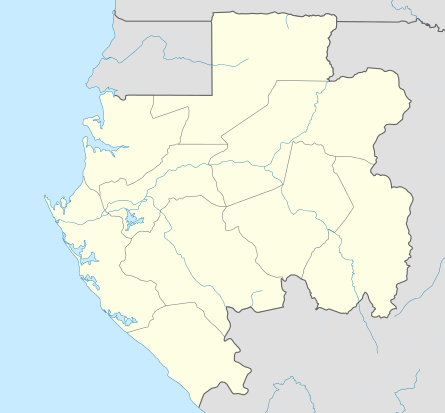 MKU Location in Gabon | |||||||||||
| Runways | |||||||||||
| |||||||||||
Makokou Airport (IATA: MKU, ICAO: FOOK) is an airport serving Makokou, Ogooué-Ivindo Province, Gabon. The runway is 4 kilometres (2.5 mi) northeast of town.
The Makokou non-directional beacon (Ident: KO) is located on the field.[4]
See also


- List of airports in Gabon
- Transport in Gabon
References
- ↑ Airport information for Makokou Airport at World Aero Data. Data current as of October 2006.
- ↑ Airport information for MKU at Great Circle Mapper.
- ↑ Google Maps - Makokou
- ↑ "SkyVector: Flight Planning / Aeronautical Charts". skyvector.com. Retrieved 2018-08-20.
External links
This article is issued from
Wikipedia.
The text is licensed under Creative Commons - Attribution - Sharealike.
Additional terms may apply for the media files.