Makita, Estonia
| Makita | |
|---|---|
| Village | |
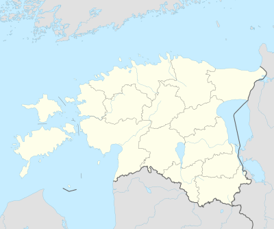 Makita Location in Estonia | |
| Coordinates: 58°09′16″N 26°33′00″E / 58.15444°N 26.55000°ECoordinates: 58°09′16″N 26°33′00″E / 58.15444°N 26.55000°E | |
| Country | Estonia |
| County | Valga County |
| Municipality | Otepää Parish |
| Official village | 2007 |
| Area | |
| • Total | 4.20 km2 (1.62 sq mi) |
| Population (01.01.2011[1]) | |
| • Total | 22 |
| • Density | 5.2/km2 (14/sq mi) |
Makita is a village in Otepää Parish, Valga County in southeastern Estonia. It's located about 10 km (6 mi) southeast of the town of Elva and about 11 km (7 mi) north of the town of Otepää. Makita has a population of 22 (as of 1 January 2011).[1]
References
| Town |  | |
|---|---|---|
| Small boroughs | ||
| Villages |
| |
This article is issued from
Wikipedia.
The text is licensed under Creative Commons - Attribution - Sharealike.
Additional terms may apply for the media files.