Mainz-Laubenheim
| Laubenheim | ||
|---|---|---|
| Stadtteil of Mainz | ||
| ||
 Laubenheim Location of Laubenheim within Mainz 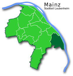 | ||
| Coordinates: 49°57′N 8°19′E / 49.950°N 8.317°ECoordinates: 49°57′N 8°19′E / 49.950°N 8.317°E | ||
| Country | Germany | |
| State | Rhineland-Palatinate | |
| District | Urban districts of Germany | |
| Town | Mainz | |
| Area | ||
| • Total | 8.8 km2 (3.4 sq mi) | |
| Population (2017-10-31) | ||
| • Total | 9,337 | |
| • Density | 1,100/km2 (2,700/sq mi) | |
| Time zone | CET/CEST (UTC+1/+2) | |
| Postal codes | 55130 | |
| Dialling codes | 06131 | |
| Vehicle registration | MZ | |
| Website | www.mainz-laubenheim.de | |

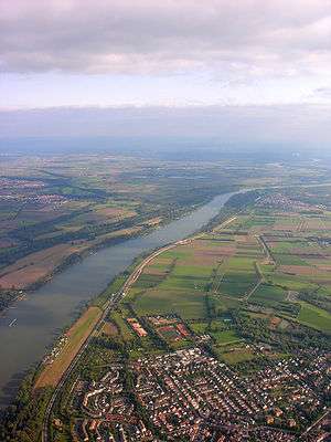
Mainz-Laubenheim is a southern quarter of Mainz and is located south of the A60 autobahn and west of the B9 highway on the banks of the Rhine.
History
The first documented mention of Mainz-Laubenheim was in 773 AD, under the name Nubenheim. In 1801, Laubenheim came under French possession, and in 1816 was taken over by the Grand Duchy of Hessen. On 8 June 1969, Laubenheim became part of the city of Mainz.
Literature
- Claus Wolf (2004). Die Mainzer Stadtteile (in German). Emons Verlag. ISBN 3-89705-361-6.
External links
- mainz-laubenheim.de
- Vintners and vineyards in Mainz-Laubenheim
- "Laubenheim". mainz.de (in German). Archived from the original on 2015-06-05. Retrieved 2015-06-07.
Boroughs of Mainz (Stadtteile) of Mainz | ||
|---|---|---|
| ||
This article is issued from
Wikipedia.
The text is licensed under Creative Commons - Attribution - Sharealike.
Additional terms may apply for the media files.