Magoe National Park
| Magoe Park National Park | |
|---|---|
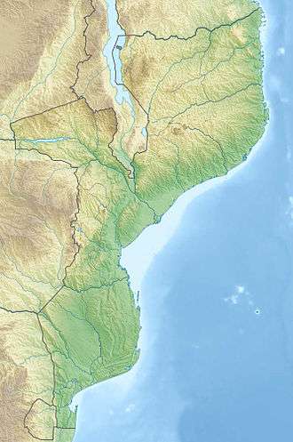 | |
| Location |
|
| Coordinates | 15°59′07″S 31°53′52″E / 15.985356°S 31.897693°ECoordinates: 15°59′07″S 31°53′52″E / 15.985356°S 31.897693°E |
| Area | 3,500 square kilometres (1,400 sq mi) |
| Established | October 20, 2013 |
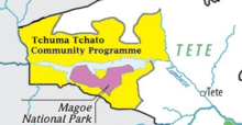
Mágoè National Park
Magoe National Park is a protected area in Tete Province, Mozambique. The park was proclaimed in October 2013.[1] Previously the area was an integral part of the Tchuma Tchato Community wildlife management program.
Location
The park is 3,559 square kilometres (1,374 sq mi) in area and is situated on the southern banks of the giant Cahora Bassa Dam.[2]
References
- ↑ Decreto 67/2013 de 11 de Dezembro
- ↑ "Amid the coal mines, Mozambique stakes out game park". Mail and Guardian. Retrieved 2013-10-20.
This article is issued from
Wikipedia.
The text is licensed under Creative Commons - Attribution - Sharealike.
Additional terms may apply for the media files.