Mafraq
| Mafraq City مدينة المفرق | |
|---|---|
| City | |
 Mafraq city center | |
 Mafraq City | |
| Coordinates: 32°20′24″N 36°12′19″E / 32.339939°N 36.205166°ECoordinates: 32°20′24″N 36°12′19″E / 32.339939°N 36.205166°E | |
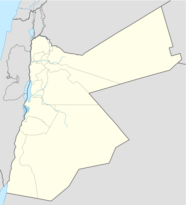
| Country | Jordan |
| Province | Mafraq Governorate |
| Founded | 333 B.C. |
| Municipality established | 1945 |
| Government | |
| • Mayor | Abdullah arqan |
| Area | |
| • City | 14 km2 (5 sq mi) |
| • Metro | 128 km2 (49 sq mi) |
| Elevation | 700 m (2,300 ft) |
| Population (2004)[1] | |
| • City | 56,340 |
| • Metro | 122,000 |
| Time zone | GMT +2 |
| • Summer (DST) | +3 |
| Area code(s) | +(962)2 |
| Website |
www |
Mafraq (Arabic: المفرق Al-Mafraq, local dialects: Mafrag or Mafra' , "crossroads") is the capital city of Mafraq Governorate in Jordan, located 80 km to the north from the capital Amman in crossroad to Syria to the north and Iraq to the east. It has 58,954 inhabitants (2000).
History


Mafraq was first settled in the 4th century BC. It is located about 17 km west from the historic Nabataean and Byzantine town of Umm el-Jimal, which was built in the 1st century.
The city was first named "Fudain", which comes from the word Fortress in Arabic. The city gained a significant importance after the establishment of the Hejaz Railway connecting Istanbul to Medina. It was renamed to the current name Mafraq by the Ottoman Turks, which means 'Cross roads". Mafraq was also the location of a British military base and airport from the early 20th century. It later became the base for the Arab Legion during the 1948 Arab–Israeli War. In the year 1945, the Municipality of Mafraq was established with Ali Abdeyyah as its first mayor. During World War II, the city's military base hosted British troops from India, Australia, and other British colonies.
Mafraq is the capital of Mafraq Governorate and the headquarters of the Third Division of the Jordanian Army. King Hussein Air College and an air base of the Royal Jordanian Air Force are also located in the city.
As of 2016, 50% of the population of Mafraq is Syrian refugees.[2]
Geography
The city of Mafraq is located in northern Jordan at the boundary between the Hauran plateau and the Syrian Desert, about 80 km to the north from Amman. It is the capital and largest city of Mafraq Governorate. The city is at a close proximity to the three major cities in the region, Amman, to the south, Irbid to the west, and Damascus to the north.
Climate
In Mafraq, there is a local steppe climate. Most rain falls in the winter. The Köppen-Geiger climate classification is BSk. The average annual temperature in Mafraq is 16.6 °C (61.9 °F). About 184 mm (7.24 in) of precipitation falls annually.
| Climate data for Mafraq | |||||||||||||
|---|---|---|---|---|---|---|---|---|---|---|---|---|---|
| Month | Jan | Feb | Mar | Apr | May | Jun | Jul | Aug | Sep | Oct | Nov | Dec | Year |
| Average high °C (°F) | 12.5 (54.5) |
14.4 (57.9) |
17.6 (63.7) |
22.5 (72.5) |
27.7 (81.9) |
31.1 (88) |
32.1 (89.8) |
32.3 (90.1) |
30.5 (86.9) |
26.4 (79.5) |
20.3 (68.5) |
14.2 (57.6) |
23.5 (74.2) |
| Average low °C (°F) | 2.2 (36) |
3.3 (37.9) |
5.5 (41.9) |
8.9 (48) |
12.2 (54) |
14.9 (58.8) |
16.3 (61.3) |
16.4 (61.5) |
14.5 (58.1) |
11.7 (53.1) |
7.3 (45.1) |
3.1 (37.6) |
9.7 (49.4) |
| Average precipitation mm (inches) | 41 (1.61) |
37 (1.46) |
31 (1.22) |
11 (0.43) |
3 (0.12) |
0 (0) |
0 (0) |
0 (0) |
0 (0) |
7 (0.28) |
20 (0.79) |
34 (1.34) |
184 (7.24) |
| Source: Climate-Data.org,Climate data | |||||||||||||

Transport
The international highway that connects Damascus to Riyadh passes through the city. Mafraq is served by a station on the 1,050 mm (3 ft 5 11⁄32 in) national railway system.

Education
Al al-Bayt University is the only university in the city. The university was established in 1992 and is located in the south-eastern outskirts of Mafraq city..[3]
See also
- King Hussein Air Base (IATA: OMF, ICAO: OJMF)
- Railway stations in Jordan
References
- ↑ Official city website (Arabic) Archived 2010-02-04 at the Wayback Machine.
- ↑ "Increasingly, hungry refugees receive aid not as food, but as cash". The Economist. 1 October 2016. Retrieved 4 October 2016.
- ↑ Al al-Bayt University