Mabolasi Mountain
| Mabolasi Mountain | |
|---|---|
| Wulameng Mountain | |
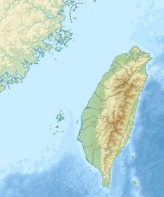 Mabolasi Mountain The location of Mabolasi Mountain (Yushan National Park) | |
| Highest point | |
| Elevation | 3,785 m (12,418 ft) [1] |
| Listing | 100 Peaks of Taiwan |
| Coordinates | 23°31′13.1″N 121°04′01.8″E / 23.520306°N 121.067167°ECoordinates: 23°31′13.1″N 121°04′01.8″E / 23.520306°N 121.067167°E |
| Geography | |
| Location | Xinyi Township, Nantou County, Taiwan |
| Parent range | Central Mountain Range |
The Mabolasi Mountain (Chinese: 馬博拉斯山; pinyin: Mǎbólāsī Shān) is a mountain in Taiwan. The peak is located in Xinyi Township, Nantou County, near the border of Hualien County.[1][2][3] It is also known as the Wulameng Mountain (Chinese: 烏拉孟山; pinyin: Wūlāmèng Shān).[1]
Geology
The mountain is located within the Central Mountain Range with a maximum peak height of 3,785 m. It is the fourth highest mountain of Taiwan.[1]
History
On 22 September 2015, an AIDC AT-3 of the Republic of China Air Force crashed around the mountain area during routine training flight, killing its two pilots.[3]
See also
References
- 1 2 3 4 "Geography & demographics". The Republic of China Yearbook 2015. Executive Yuan. 2015. pp. 40–53. ISBN 978-986-04-6013-1.
- ↑ "Mabolasi Shan". Peakery. Retrieved 28 April 2016.
- 1 2 Jason Pan (27 September 2015). "Jet wreckage found, two dead". The Taipei Times. Retrieved 27 April 2016.
This article is issued from
Wikipedia.
The text is licensed under Creative Commons - Attribution - Sharealike.
Additional terms may apply for the media files.