Lucknow, New South Wales
| Lucknow New South Wales | |
|---|---|
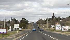 Mitchell Highway passing through Lucknow | |
|
Lucknow | |
| Coordinates | 33°20′47″S 149°09′42″E / 33.34639°S 149.16167°ECoordinates: 33°20′47″S 149°09′42″E / 33.34639°S 149.16167°E |
| Population | 297 (2016 census)[1] |
| Postcode(s) | 2800 |
| Location | |
| LGA(s) | City of Orange |
| State electorate(s) | Orange |
| Federal Division(s) | Calare |
Lucknow is a locality in the Central West region of New South Wales, Australia, on the Mitchell Highway and adjacent to the regional centre of Orange. The locality is in the City of Orange local government area, 245 kilometres (152 mi) west of the state capital, Sydney.
At the 2016 census, Lucknow had a population of 297.[1]
References
- 1 2 Australian Bureau of Statistics (27 June 2017). "Lucknow". 2016 Census QuickStats. Retrieved 14 July 2017.

External links
![]()
This article is issued from
Wikipedia.
The text is licensed under Creative Commons - Attribution - Sharealike.
Additional terms may apply for the media files.