Luau Airport
| Villa Teixeira de Sousa Airport Luau Airport | |||||||||||
|---|---|---|---|---|---|---|---|---|---|---|---|
| Summary | |||||||||||
| Airport type | Public | ||||||||||
| Serves | Luau | ||||||||||
| Location | Angola | ||||||||||
| Elevation AMSL | 3,609 ft / 1,100 m | ||||||||||
| Coordinates | 10°42′55″S 22°13′50″E / 10.71528°S 22.23056°ECoordinates: 10°42′55″S 22°13′50″E / 10.71528°S 22.23056°E | ||||||||||
| Map | |||||||||||
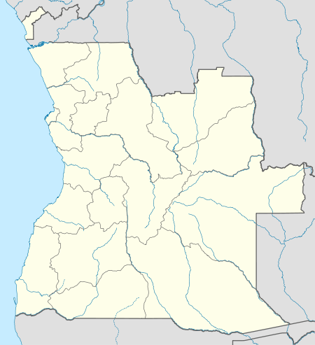 UAL Location of airport in Angola | |||||||||||
| Runways | |||||||||||
| |||||||||||
Luau Airport (Portuguese: Aeroporto de Luau) (IATA: UAL, ICAO: FNUA) is an airport serving Luau, a municipality in the Moxico Province of Angola. It is near the border between Angola and the Democratic Republic of the Congo.
In February, 2015, Luau International Airport was opened by Angolan President, José Eduardo dos Santos.[4] The new airport is 7 kilometres (4.3 mi) west of Luau Airport.
See also


- List of airports in Angola
- Transport in Angola
References
- ↑ Airport information for UAL / FNUA at Great Circle Mapper.
- ↑ "FNUA @ aerobaticsweb.org". Landings.com. Retrieved 2013-07-31.
- ↑ Google Maps - Luau
- ↑ "Moxico: Angolan President unveils Luau airport". ANGOP. Retrieved 2017-07-27.
External links
- Accident history for UAL / FNUA at Aviation Safety Network
- "Luanda @ aerobaticsweb.org". Landings.com.
- OpenStreetMap - Luau
This article is issued from
Wikipedia.
The text is licensed under Creative Commons - Attribution - Sharealike.
Additional terms may apply for the media files.