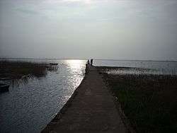
Lough Gill (Kerry)
| Lough Gill Loch Gile | |
|---|---|
 | |
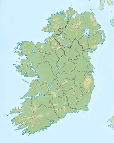 Location in Ireland | |
| Location | County Kerry |
| Coordinates | 52°15′38″N 10°2′44″W / 52.26056°N 10.04556°WCoordinates: 52°15′38″N 10°2′44″W / 52.26056°N 10.04556°W |
| Catchment area | 16.43 km2 (6.3 sq mi) |
| Basin countries | Ireland |
| Max. length | 2.2 km (1.4 mi) |
| Max. width | 0.9 km (0.6 mi) |
| Surface area | 1.4 km2 (0.54 sq mi) |
| Average depth | 0.5 m (1 ft 7.7 in) |
| Surface elevation | 3 m (9.8 ft) |
| References | [1][2][3] |
Lough Gill (/lɒk
Geography
Lough Gill measures about 2 km (1.2 mi) long and 1 km (0.6 mi) wide. It is about 30 km (19 mi) west of Tralee, near the village of Castlegregory.[1]
Hydrology
Lough Gill is considered a natural lagoon, draining into Tralee Bay. It is fed by the Killiney River and another unnamed stream. The lake is shallow, with depths of less than 0.5 m (1 ft 8 in).[3]
Natural history
Fish species in Lough Gill include three-spined stickleback, sand goby, brown trout, flounder and the critically endangered European eel.[3] The lake is part of the Tralee Bay and Magharees Peninsula, West to Cloghane Special Area of Conservation.[4]
See also
References
- 1 2 Google (29 Dec 2015). "Lough Gill" (Map). Google Maps. Google. Retrieved 29 Dec 2015.
- ↑ "A Reference Based Typology and Ecological Assessment System for Irish Lakes" (PDF). Environmental Protection Agency (Ireland). 2006. p. 17. Retrieved 29 Dec 2015.
- 1 2 3 "Sampling Fish for the Water Framework Directive : Lough Gill" (PDF). Inland Fisheries Ireland. 2013. Retrieved 29 Dec 2015.
- ↑ "Tralee Bay and Magharees Peninsula, West to Cloghane SAC" (PDF). National Parks and Wildlife Service (Ireland). Retrieved 29 Dec 2015.