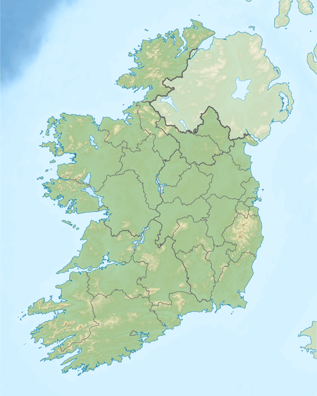
Lough Boderg
| Lough Boderg Loch Bó Dearg | |
|---|---|
 Lough Boderg | |
| Location | Ireland |
| Coordinates | 53°52′17″N 7°58′42″W / 53.871264°N 7.978204°WCoordinates: 53°52′17″N 7°58′42″W / 53.871264°N 7.978204°W |
| Primary inflows | River Shannon |
| Primary outflows | River Shannon |
| Basin countries | Ireland |
| Surface area | 5.1 km2 (2.0 sq mi) |
| Surface elevation | 36 m (118 ft) |
| Islands | Inishmoylin, Dockery's Island, Coarse Island, Illanamoe |
Lough Boderg is a lake on the River Shannon on the County Roscommon–County Leitrim border.[1]
History and legend
The lake's name is Irish for "Lake of the red cow." Lough Boderg is separated from Lough Bofin ("Lake of the white cow") by the Derrycarne Narrows.[2]
Túathal Techtmar used Lough Boderg as one of the traditional boundaries of the ancient Kingdom of Meath: "From Loch-Bo-Deirg to Birra [Birr], From Sena [Shannon] eastward to the sea."
Recreation
Lough Boderg is a noted fishery for bream, rudd, roach, northern pike, eel and perch.[3]
The North Shannon Yacht Club is based on Lough Boderg.[4]
See also
References
- ↑ "p.506-7. The Journal of the Royal Historical and Archæological Association of Ireland: Originally Founded As the Rilkenny Archæological Society, in the Year 1849". Archived from the original on 26 December 2015.
- ↑ "Lough Bofin and Lough Boderg".
- ↑ "Infowing - catch the best fishing in Ireland :: Waterway".
- ↑ "North Shannon Yacht Club Revived on Lough Boderg".
This article is issued from
Wikipedia.
The text is licensed under Creative Commons - Attribution - Sharealike.
Additional terms may apply for the media files.